KIOW – Iowa City Municipal Airport v0.9.3
Iowa City Municipal Airport (KIOW)
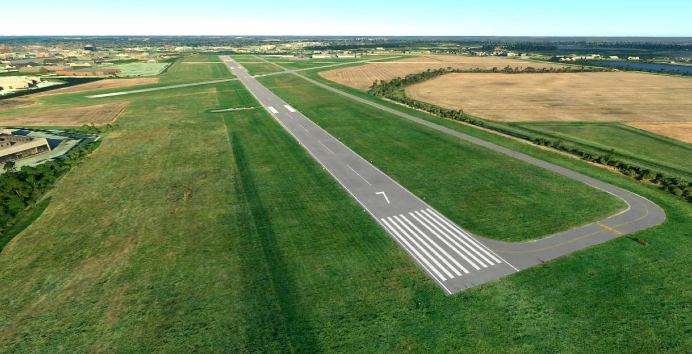
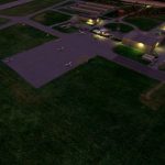
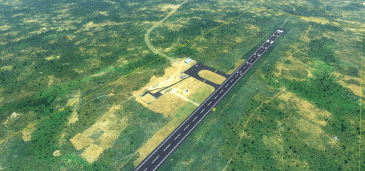
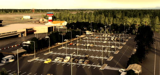
Handcrafted and updated to reflect the current layout. Contains current USA2 satellite imagery via Ortho4XP. Lighting, taxiways and signs, hangar placement, and parking spots all based on visual survey and satellite data. Runways are terraformed to published specifications. Terminal building is based on Google Earth photogrammetry data.
To-do
Model hangars, rather than rely on generic assets
Model the terminal building in higher quality, not using Google data
Model the rotating beacon tower, rather than using the generic model
Model the airport viewing area platform
Changelog
0.9.3
Initial Release
Installation
Copy the contents of the downloaded zip file to your Community folder in your MSFS installation directory.

