Kolchiko Airfield v1.0
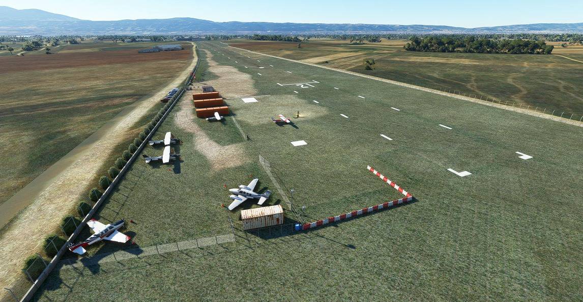
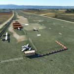
This is Kolchiko Airfield scenery.Since I have physical access to the field it’s a 100% accurate representation of the actual airfield almost down to the cm!Every single detail is included and represents the airfield’s actual state of development as of today except the outer fence and the runway edge markings.However both will be soon included as the airfield is under a continuous development proccess by the New Thessaloniki Aeroclub. So,you may say you have a glimpse to the near future of the field!But in any case you can undeniably say you’ll know the airfield like been there in real life!
Kolchiko airfield is placed just North/NorthEast of Thessaloniki near the city of Lagadas and took its name from the nearby village of Kolchiko.It’s included by default in MSFS named incorrectly LGKH however it’s nothing more than a simple dirt/grass strip in the middle of nowhere.Also the correct runway is 21/03 and not 20/02.Actual Runway dimensions are 800×25 meters with another 125×25 meters safety distance adjacent to Rwy 21 threshold and another 20×25 meters to the other end on Rwy 03.Thus,Rwy 21/03 has a total lenght of 945 and width of 25 meters.Field’s elevation is 377ft.
Kolchiko Airfield is the home base of the New Thessaloniki Aeroclub and Mikra Aeroclub as well.Prior 2017 was exactly as by default included in MSFS,nothing more than a dirt airstrip.However after Fraport took over Thessaloniki International Airport where both Aeroclubs were based at,the little airstrip became their permanent base as they practically forced to move out due to the overwhelmingly high costs and complicated procedures induced by the new Airport owner.
The scenery consists of 2 files,one for the Rwy & Aprons (“Kolchiko Airfield Rwy & Aprons”) and the other for the total scenery area (“Kolchiko Airfield Scenery & Area”).Just drop both folders inside your Community folder and you’re good to go.There are 3 “GA Small” parking positions just outside the inner fence perimeter.The white 4×4 meters box 90 meters past Rwy21 threshold is perfect for accuracy landings on Rwy21 and its actual use in real life is exactly for the same purpose therefore you can challenge yourself trying to land on it.Flying at night and trying to land with only the airfields dim lights and the stars/moon above, could also be considered as another challenge.Also,flying with real weather activated will definitely be a challenge trying to land crosswind as most of the times the wind is mostly from the West and sometimes from the East.
I hope you’ll enjoy flying my scenery so please leave a like/comment below.
Have fun and always fly safe!
GPS Coordinates: 40.74529, 23.12287

