KOWA – Owatonna Regional Airport – Owatonna, MN v1.0
KOWA – Owatonna Degner Regional Airport – Owatonna, MN
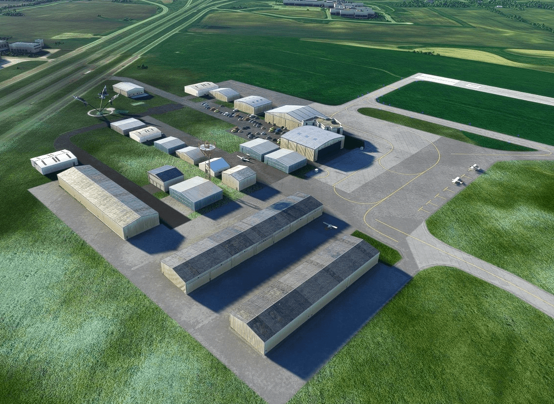
Owatonnas airport is a mid sized General Aviation airport in Southern Minnesota. It boasts two runways, 12-30 (5500×100 concrete) and the cross wind runway 05-23 (3000×75 asphalt). It is large enough to handle your business jets but has that great small airport feel. Instrument approaches include the ILS to 30, RNAV GPS to 12 and 30 and for those who like a bit more of a challenge, the VOR approach into 12. This is a pilot controlled airport with CTAF on 112.7.
I saw a request for this airport and since I just uploaded a Mankato scenery not far down US 14 from this airport I thought it would be good to have more updated airports in close vicinity for your sightseeing flights.
Improvements:
– Night lighting added
– Replaced the generic AI buildings with base hangar models (some came from World Update 2 so if that isn’t installed the hangar won’t appear). The enormous AI hangars were replaced with correct T-hangars.
– Updated Taxiway Lighting
– Taxiway signs added and move to appropriate positions taken from Google Maps. Note that I couldn’t find any good pictures of the taxiways with good resolution. Thus the taxiway names and signs are based on old data and may not be 100% accurate (specifically off taxiway B)
– Updated Taxi lines, added parking T’s.
– Parking locations moved to the proper locations and a few added to the hangar areas.
– Crude attempt to recreate the airports signature flying display – the inverted T-38’s at the airport entrance. I recreated them with stock F-16’s. It’s a step in the right direction but does look a bit funny.
Installation:
– Extract the zip file and past the folder to your Community folder.
As always, enjoy flying in Minnesota!
GPS Coordinates: 44.121476441901166, -93.25665664098456

