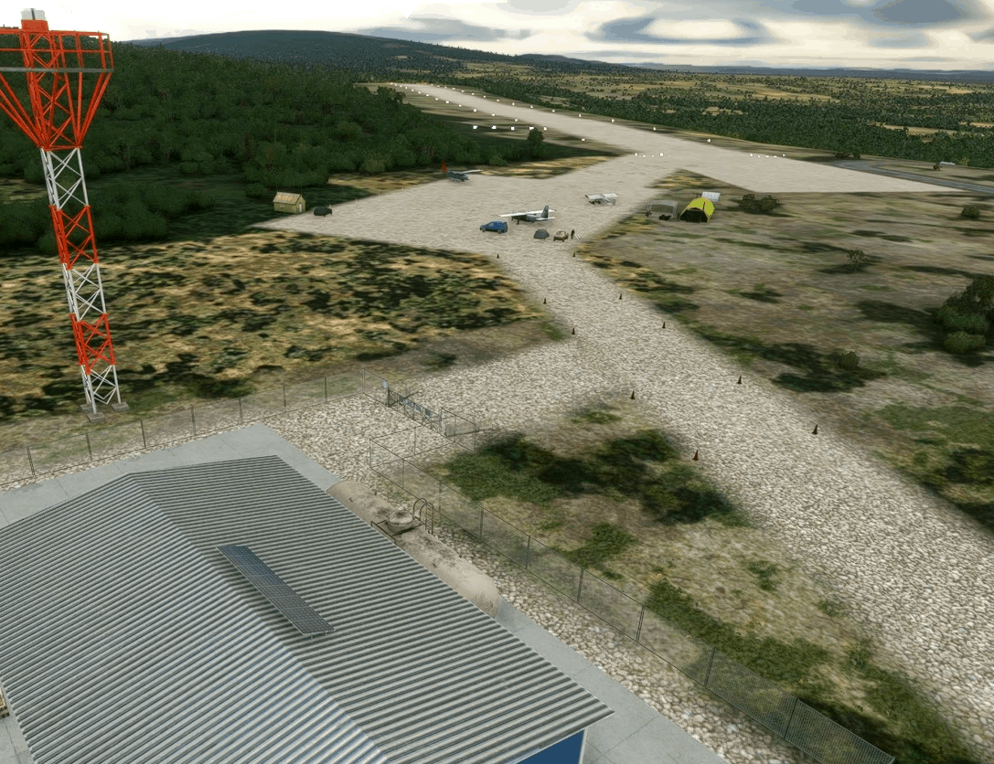
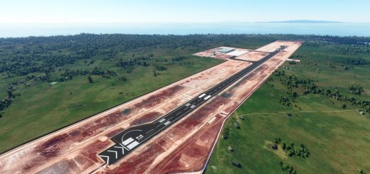
Koyuk Alfred Adams Airport v1.0.0
Koyuk is a small villiage of 350 residents. The village is located on the northern bank of the Koyuk River where it drains into Norton Bay, about 130 miles from Nome.
Koyuk Alfred Adams Airport is one of 24 airstrips and airports on the Iditarod Trail that runs from Anchorage to Nome. The Iditarod Airforce is a group of pilots who volunteer their time and planes to service the 24 race checkpoints. Their missions include delivering food for the teams, picking up injured sled dogs, and many other logistical services for the volunteers who manage the checkpoints.
In the future, I hope to build a Bush Trip that follows the entire Iditarod Trail from Anchorage to Nome, about 1,000 miles. However, after this one, there are another 5 air strips and airports that I will need to develop and add to the sim. I am trying to acurately represent them all using aerial photos and images I find on the internet and from the data on the AirNav and SkyVector web sites.
Airport Information:
AirNav: PAKK – Koyuk Alfred Adams Airport
FAA Identifier: KKA
Installation
Copy the tn-airport-pakk-koyuk-alfred-adams-airport folder inside of the WinRAR file into your MSFS Community folder.
Many thanks to Fisherman Dave, and trfsto for making their libraries available to add interesting content to these airports.
GPS Coordinates: 64.9392182, -161.1546498

