LICP – Palermo Bocca di Falco v1.0
PALERMO BOCCADIFALCO AIRPORT LICP
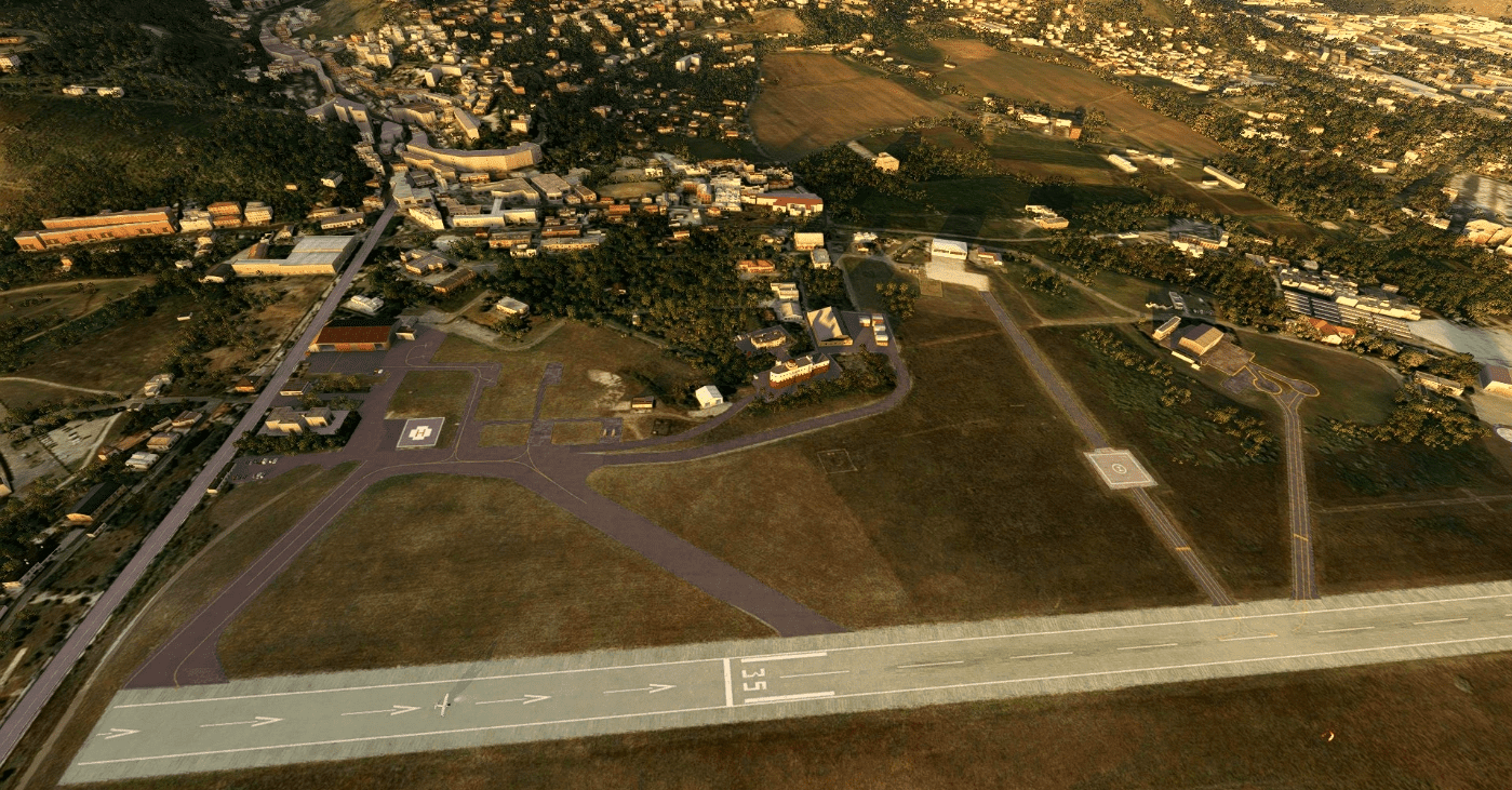
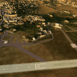
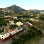
The sports and touristic airport of Palermo Boccadifalco is located in the SW boundary of Palermo, just below Monte Cuccio, the higher mountain (3500ft) at WSW of the city. A competent management of the airport insures the better possible safety measures. The Palermo Aero Club, one of the most ancient in Italy, is situated within the airport precints; it has a big hangar, classrooms and administrative offices. The Aero Club preserves aviation traditions and cultures.
The airport is close to Palermo Town, you can reach the center of city by taxy at very cheap cost.
The Palermo Boccadifalco Airport has an asphalted runway long 4200ft, surface is 360ft high on MSL; it is situated below Mount Cuccio (3.500ft), located at West – South West of the airfield.
The runway is orientated 17/35; due to a slight northward slope (-2.19%), it is preferable to land at runway 17.
On approaching Boccadifalco airport, the following route is suggested:
– Entrance gate: Brancaccio, South-East of Palermo between the city and Mount Grifone;
– The metropolitan area between the Palermo Circular Road and the sea on the E and NE side of the city, is prohibited below 2500 ft;
– West heading towards Monreale, keeping the mountains on your left and the Palermo circular road (visible from the height) on your right;
– When close to the South-East airfield border, turn right to the left downwind leg 17;
– Round 45 seconds after crossing the runway 17 threshold marking, turn base leg;
– Turn final leg, paying attention to obstacles higher than 50 ft from surface;
– Remember that Aerodrome Elevation is 345 ft;
Important: Palermo Boccadifalco Airport LICP is close to Palermo Puntaraisi International Airport LICJ, located at west of Boccadifalco Airport. The approach of commercial aircraft going to LICJ is very close to Palermo Town, so we warmly recommend you to keep attention when leave Boccadifalco airport north-bound or west-bound. Read AIP procedure and aerodrome chart.
GPS Coordinates: 38.11587564797111, 13.313316209179558



![[RJAM] Minami Torishima Airport – Japan v1.0](https://www.allflightmods.com/wp-content/uploads/2020/09/RJAM-Minami-Torishima-Airport-Japan-v1-2-520x245.jpg)
