LOAR Altlichtenwarth / Austria v1.0
Welcome to Altlichtenwarth!
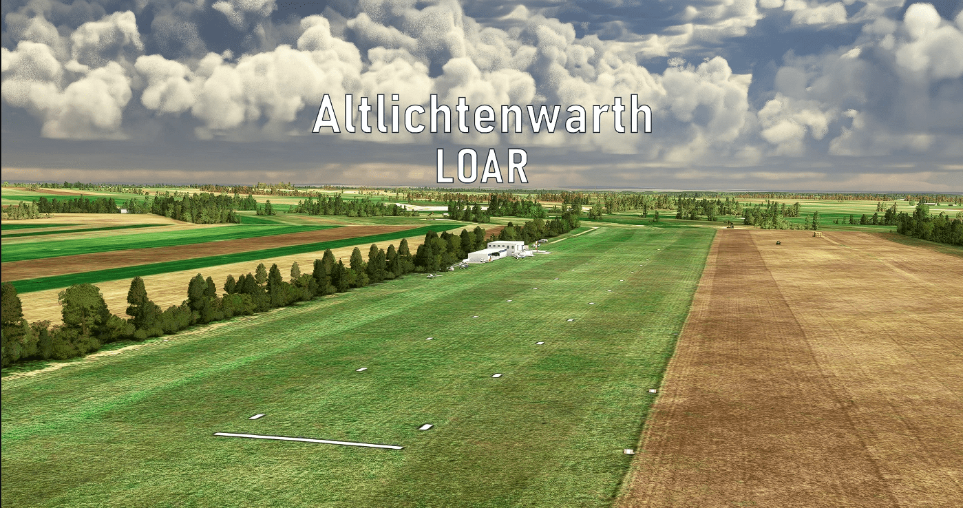
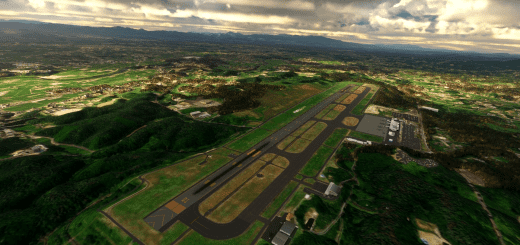
Altlichtenwarth Airfield (German: Flugplatz Altlichtenwarth LOAR) was founded in 2005 as a private glider airstrip. It is located near the town of Altlichtenwarth, Austria in the picturesque hills of the “Weinviertel” near the Czech border. In the geological epoch of Miocene, this area used to be part of an innereuropean sea with lots of geological acitivty. Thus, thermal waters and oil can be found these days.
Visit Altlichtenwarth and enjoy your flights to Vienna, the Wachau UNESCO heritage or the Czech Republic.
This airport was created in collaboration with “Troglodytus”.
Airport
Elevation 604ft / 184m
Runways 04/22 – 500x25m Grass
Frequencies 125.250 MHz Altlichtenwarth Info
Features
Detailed rendition of Altlichtenwarth Airfield
Terraforming of entire airstrip and complete surroundings by high resolution DEM data. (10m lateral, 0.1m vertical resolution)
High definition custom aerial imagery
Modelled & animated Oil Pumps
Landmarks in the surrounding area
Accurate and tasteful Night Lighting
Start your flight cold & dark from inside the hangar!
Loads of custom ground objects for pure immersion
Many little details …
How to install?
Simply drag the unzipped “littlekrg-troglodytus-airport-loar-altlichtenwarth” folder into your community folder!
Make sure you have Mikea’s Assetpack & Fisherman Dave’s People installed as well.
Enjoy your visit to Altlichtenwarth!
Coordinates: 48.66644737497939, 16.82517686917618

