LYJA – Barutana, Jagodina sportski aerodrom v1.0
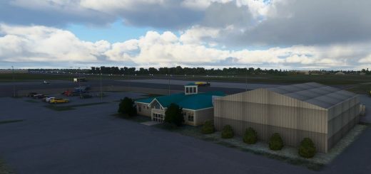
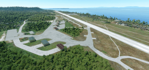
Barutana Airport, Jagodina (ICAO: LYJA) is located in the northwest of the city of Jagodina, next to the road to Gornje Stiplje and the mountain Crni Vrh, in a settlement called Stipljanski Put. The runway of the airport is located on about 4 ha of area where there is a hangar and a parking lot for aircraft.
The center of the runway, which is 2.4 km away from the center of the City of Jagodina, at the rate of 260 ° 30 GEO BRG, was taken as the reference point of the airport. In the wider vicinity of the airport, southeast of about 15 km is the airport “Dobričevo” near Ćuprija and 24.5 km airport “Davidovac” near Paraćin, about 45 km southwest airport “Trstenik” in Trstenik, about 73 km west sports airport ” Čačak “in Čačak, about 80 km south of the airport” Blace “in Blace and about 80 km north of the airport” Smederevo “in Smederevo.
Geographic coordinates of the airport:
Latitude: N 43°58 35,62″
Longitude: E 21°13 47,77″
The defined altitude of the airport in relation to the mean sea level (AMSL) is: N = 166.9m (550ft). The dimensions of the PSS are 590 x 30.5 m with a grass base. The runway direction is 294.30° – 114.30° (MAG 290° -110°).
The virtual version of this airport is brought to you by the team of Peca, Goran and Boba – which is currently working on the development of Serbian sports airports for FS2020.
3D models, textures, livery, creation of the FS2020 project, design, lighting and animation were done by Goran and Boba, while Peca performed the expert verification, project control, collection of materials, photography from the ground and from the air.
Installation:
-Unpack the contents into the community folder of your FS2020. If you already have the tsr-windy-things folder, copy over it.
Microsoft Flight Simulator 2020 © Microsoft Corporation. LYJA – Barutana Jagodina was created under Microsoft’s “Game Content Usage Rules” using an asset from Microsoft Flight Simulator X © Microsoft Corporation, and it is not endorsed by or affiliated with Microsoft.
A great add-on Windy Things was used in this scenario
GPS Coordinates: 43.976689, 21.229763


