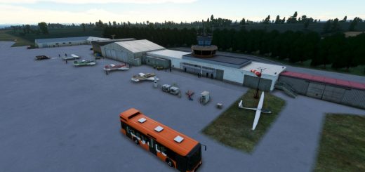
Mayor General FAP Armando Revoredo Iglesias Airport, Cajamarca (SPJR) v1.0
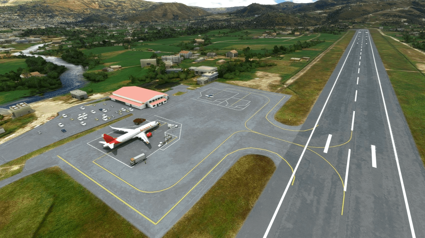
The RNAV(RNP) Runway 34 Approach into this airport is a textbook example of RNP approach in mountainous terrain, which you can see its approach track in 3D from Wikipedia. However, the built-in autogen version of this airport is somehow awful: parking spaces are messed up, no tower frequency, no instrument procedures. It definitely needs a remake. The coding table of the approach is not published to public, so the coordinates of the waypoints are estimated from approach chart with the help from GIS software, accurate enough for home simulations. A very simple handcrafted terminal is also made, it looks at least better than the autogen one.
Approach chart could be found on the website of CORPAC SA. The decision height of the approach is 10000ft, which is the midway between JR526 and JR524. Going around beyond this point could be quite dangerous as the terrain at the end of Runway 34 is hilly, a little bit similar to Lukla. In addition, do not keep NAV mode of autopilot until the very last moment before the runway threshold as the starting point of the autogen runway is quite much off from centerline.
GPS Coordinates: -7.13922222222222, -78.48952777777777





![[ZPCW] Cangyuan Washan Airport v1.0](https://www.allflightmods.com/wp-content/uploads/2021/09/ZPCW-Cangyuan-Washan-Airport-v1-2-520x245.png)
