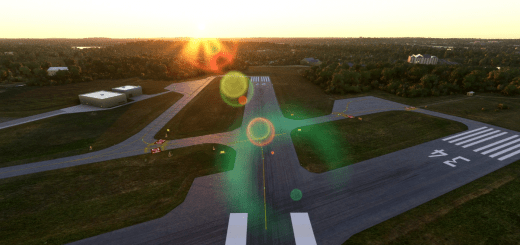
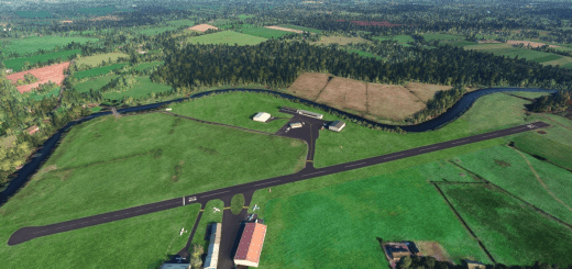
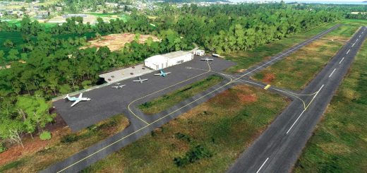
RCMT Beigan Airport, Matsu, Taiwan v1.0
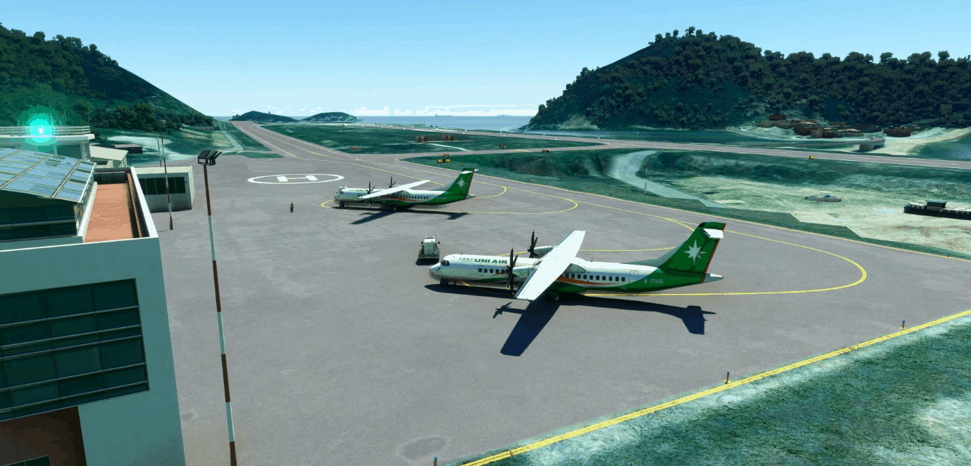
Matsu Beigan Airport (RCMT) is a twin airport with Nangan Airport (RCFG) located on Matsu Islands, Taiwan. This airport currently has a runway length with 1150m (3773ft). Local carrier uses ATR-72 to fly domestic routes between here and Taipei (RCSS). Helicopter charter flights are also accepted between nearby islands. Due to its short runway the aircraft even needs to reduce takeoff weight to maintain takeoff safety. It could be one of the most challenging airport in Taiwan domestic airport next to Nangan Aiport (RCFG). This package provide basic airport environment, taxiway lines/signs, and night lights. The runway curvature are also animated to fit real airport environment.
V1.0 Initial release:
Airport data are based on first hand and AIP information:
Runway data are accurate located
PAPI are accurate placed.
ATC tower and ATIS based on real data.
Antenna location and windsock location based on real data.
Taxi parking and route based on real data.
Runway curvature based on first hand data.
Instrument approach are planned to introduce.
Surrounding area are flattened to simulated cliff effect at both runway end.
You have to install my other project “Matsu 30m DEM, Taiwan” as a base pack in order to take full advantage of the package. You can also consider my other Matsu projects “Matsu Aerial, Taiwan”, “RCFG Nangan Airport, Matsu, Taiwan”, and “Matsu Heliports, Taiwan” for these area.
Installation: drag and drop the “kcai-rcmt” folder in your Community folder.
GPS Coordinates: 26.224761, 120.002151

