(RJNT) Toyama Intl Airport v1.0
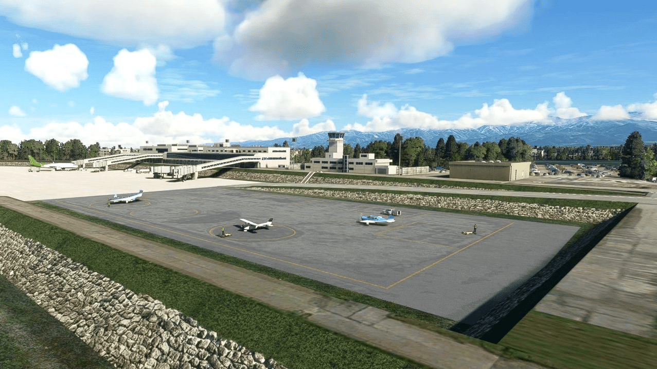
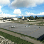
Toyama Airport was built in the river because land could not be secured in Japan, where there are few plains. It is designed to submerge the runway if the largest heavy rain hits (because raising the runway narrows the river width and causes floods).
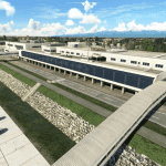
The terminal was built outside the river to prevent it from being submerged.
Therefore, the longest 89-meter boarding bridge in Japan was built from the terminal.
The highway in front of the RWY20 side passes through the middle of the approach lights, so it is painted red and white. There is a “Caution for airplanes” sign on the road. In normal landing, it will fly at a low altitude in the center of Toyama City at 1000FT.
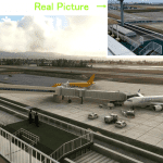
The runway is as narrow as 2000M and the apron is small, so the jet plane stops diagonally.
Toyama in MSFS was a poor airport, so I remade it.
GPS Coordinates: 36.64406243088711, 137.1895475558544

