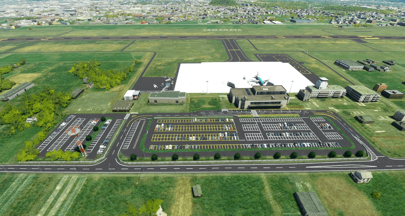
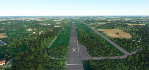
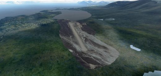
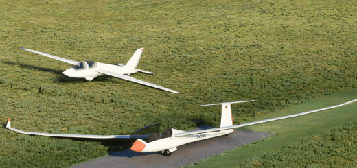
RJSC Yamagata Airport Japan Enhanced v1.0
This default airport has been enhanced using MSFS assets. I used a tool created by Nool Aerosystems to create a custom heightmap (5m resolution) from Geospatial Information Authority of Japan DEM data. If you use Zinertek Enhanced Airport Graphics, download EAG version.
Version History
v1.0
initial release
GPS Coordinates: 38.412, 140.371169

