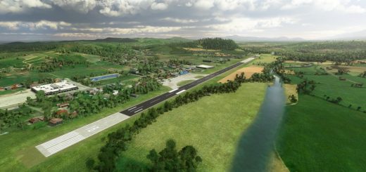
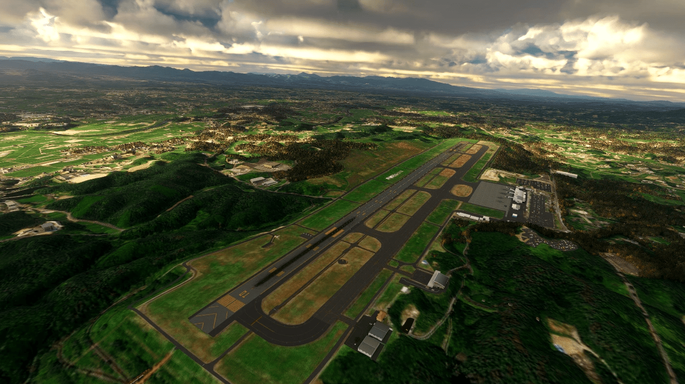
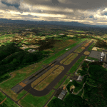
RJSF Fukushima Airport Japan Aerial and Terrain v1.0
This changes terrain profile and fixes areas around the airport that aren’t covered by aerial imagery. You can use add-ons for this airport like runway markings by Toshi-chan and buildings by Mr.Custo but not fully compatible yet due to terrain changes. Overall package is over 1.3GB extracted.
Version History
v1.0
initial release
GPS Coordinates: 37.22736062788877, 140.42853750409415


![Singapore Changi International Airport [WSSS] v1.0](https://www.allflightmods.com/wp-content/uploads/2021/06/Singapore-Changi-International-Airport-WSSS-v1-3-520x245.png)
