Rota International airport (PGRO), North Mariana Islands v1.5
Rota International airport (PGRO)
Rota International Airport (IATA: ROP, ICAO: PGRO, FAA LID: GRO), also known as Benjamin Taisacan Manglona International Airport, is a public airport located on Rota Island in the United States Commonwealth of the Northern Mariana Islands (CNMI), near the village of Sinapalo.
The airport is owned by the Commonwealth Ports Authority. During WWII the Japanese constructed a single runway which the U.S. bombed out of commission. After the Marines took control of the island 300 men from the 48th U.S.Naval Construction Battalion made the airfield operational during Sept-Oct 1945 and extended it to 5000 ft. The runway was then used as an emergency landing strip for the returning B-29 Superfortresses heading for the Tinian and Saipan airfields.
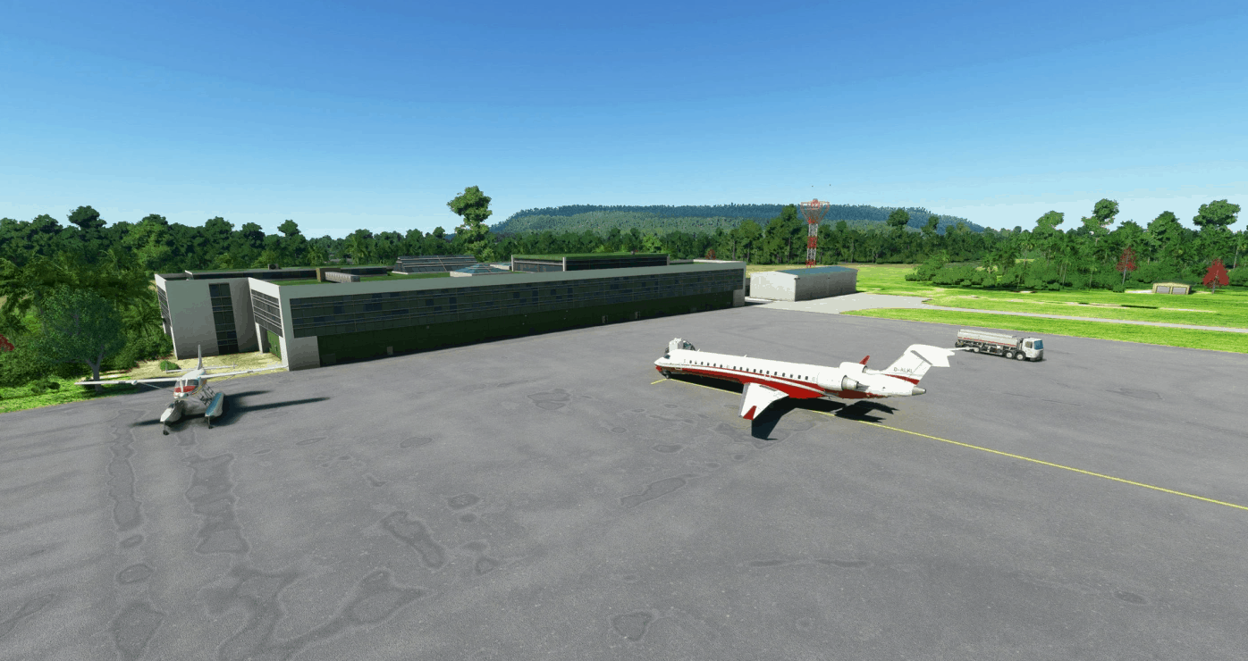
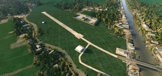
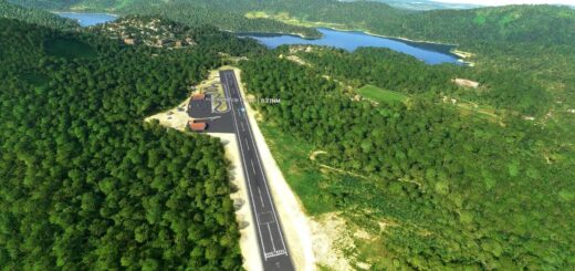
The Bing data for the airport is non-existent as the island is covered in cloud so I’ve used the Google earth data to re-create the airport. The photogrammetry data has been colour matched where possible and the airport populated.
v1.5 ATC enabled, PAPI lights turned on (3 degree slope) and surface texture/colouring improved to match what limited aerial views of the airport I’ve found
v1.4 smaller corrections to smooth off the rough edges.
v1.3 the lack of palm trees was annoying me so I’ve imported a few thousand of them
v1.2 Correction to a dodgy texture that crept in during development.
v1.1 high resolution photogrammetry added to the scenery. I have not replaced the apron with a clean modern surface. Should I?
v1.0 1st release.
GPS Coordinates: 14.17202735761528, 145.24326959980291

