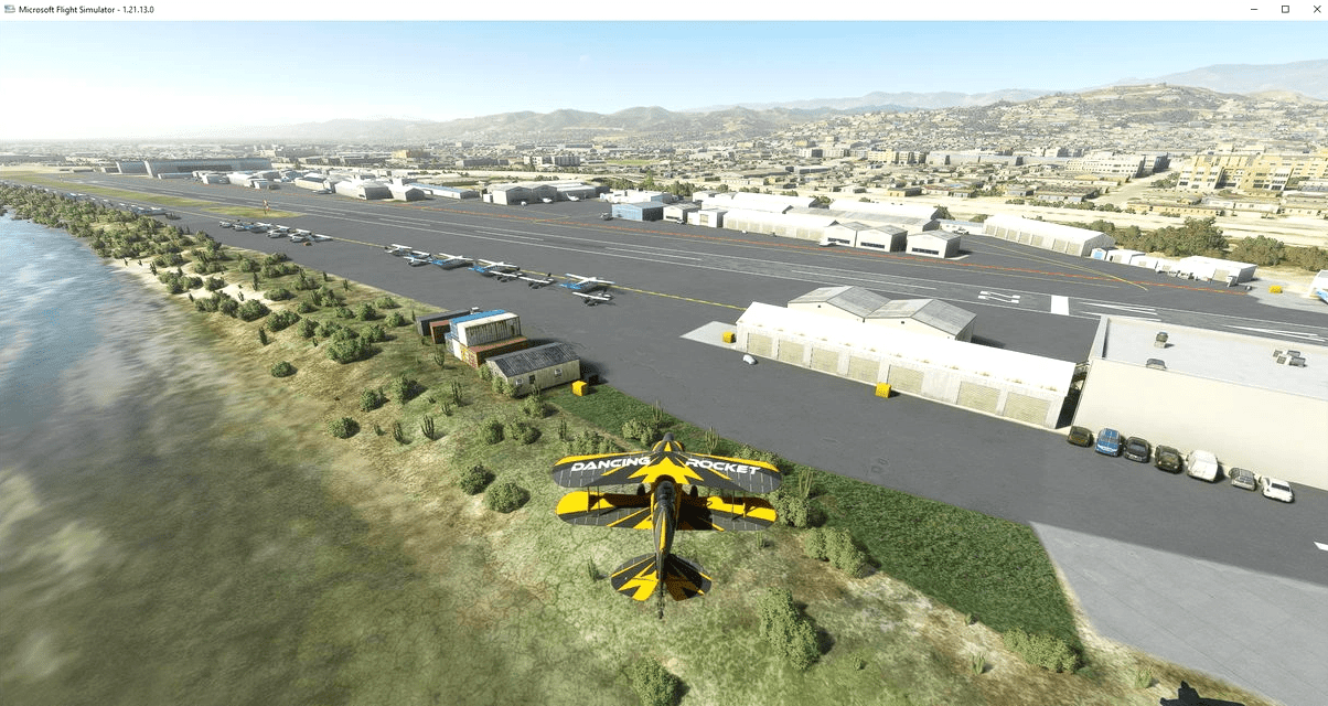
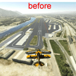
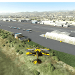
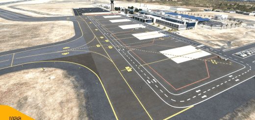
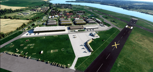
Santa Paula Airport KSZP v1.0
Santa Paula Airport KSZP
Serves Santa Paula, California
Elevation AMSL 243 ft / 74 m
Coordinates 34°20′49″N 119°03′42″W GPS : 34.348130, -119.061863
Runways 4/22 2,713ft 827m Asphalt
Helipad H1 60ft 18m Asphalt
Santa Paula Airport (IATA: SZP, ICAO: KSZP, FAA LID: SZP) is a privately owned, public use airport located one nautical mile (2 km) southeast of the central business district of Santa Paula, a city in Ventura County, California, United States. It exclusively serves privately operated general aviation aircraft with no scheduled commercial service.
Santa Paula Airport sees an average of over 266 take-offs and landings a day, posing a challenge to keen pilots with its pattern altitude of just 850 feet and electrical wires on short final. It serves only privately operated GA aircraft with no scheduled commercial services.
note: the airport is open 7 Days a Week,0800-1700 and not certified for IFR, so there is no runway lights
v1.0
1..windsock at the right place
2..add various airport building and objects (cars, containers…)
3..add light pole for night lighting
4..add grass and vegetation
5..fix airport elevation
GPS Coordinates: 34.348130, -119.061863

