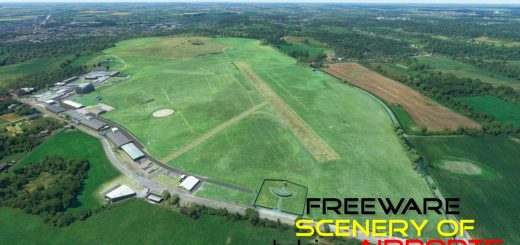
SBGV – Aeroporto Coronel Altino Machado de Oliveira – Governador Valadares v1.1
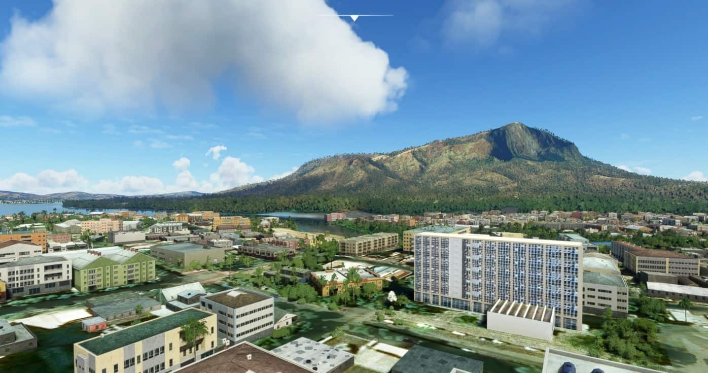
Governador Valadares is a Brazilian municipality in the countryside of Minas Gerais. In 2018, its population was 278,685 inhabitants, thus being the ninth most populated city in the state. [1] It is an economical axis of the middle valley of the Doce River (Rio Doce, lit. “Sweet river”), having a significant influence on the east and northeast portion of Minas Gerais and local authorities of the state of Espírito Santo. Governador Valadares sits on the bank of the Doce River (Rio Doce), 324 km from Belo Horizonte. Governador Valadares has an area of about 2 342 km², being only 58 km² of urban area.
The discovery of the city started at the beginning of the XVI century, that explored the Doce River searching for precious metals. The settlement began between the XVIII and XIX centuries, constructing barracks destined to keep an eye at the Amerindians, who used to attack the settlers and merchants. With the construction of the EFVM (Vitória-Minas Railway), in 1907, the settlements were consolidated. The growth of the population and commercial development was improved due to the location of the city, that was near to coffee farms and wood extraction fields. The municipality was emancipated from Peçanha in the 1930s.
After the 40s, the extraction of precious metals brought a notable population growth, along with livestock and commerce. But with the decline of natural resources, the money could only be earned through the investment of immigrants, who would later go to other countries. Commerce is the most important source of income in the city, along with agribusiness and regional manufactured products.
Installation: copy the folder to the Community folder
GPS Coordinates: -18.8972517, -41.9862878

