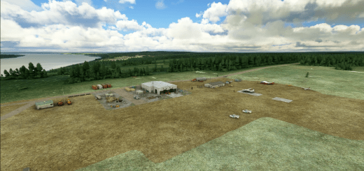
Segelflugplatz Bad Marienberg Lite V1.0
Glider airfield Bad Marienberg V1.0 – Microsoft Flight Simulator
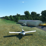
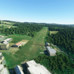
The gilder airfield Bad Marienberg inside the west wood forest is located near the towns of Hof and Oberrossbach.
The runway has a height difference from about 20m. A take off in direction 11 is not easy in difficult wind conditions.
Scenery Information:
Airfield close to the real one
Flatten at the Hangar area
sloped runway after geo data
static Aircrafts
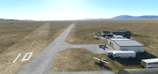
3 parking position
Fuel station
Airfield Data:
Elevation: 527m / 1729ft MSL
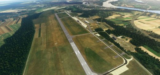
1000m grass runway
Direction 11 / 29
Pattern 2500ft north & south
Frequency: 120.085 MHz
Installation:
Please copy the scenery folder “zulugolfalpha-bad marienberg” into your Community folder.


