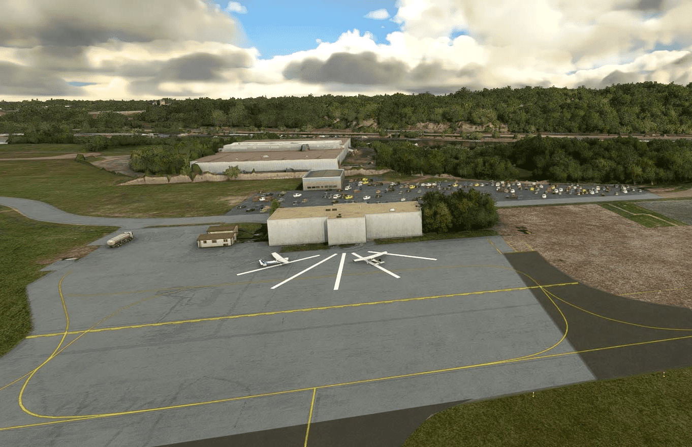
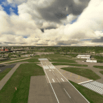
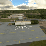
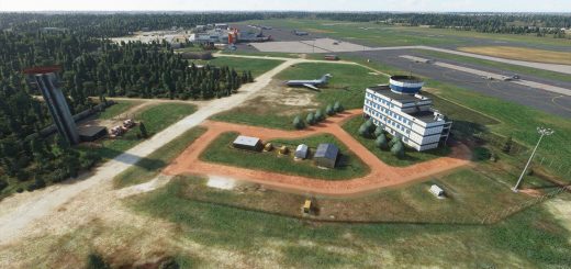
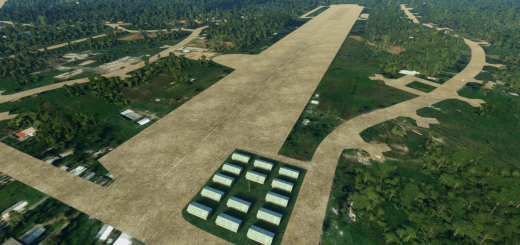
ST PAUL DOWNTOWN HOLMAN FLD (KSTP) v1.0
Looking at the Google Imagery, I would say that Asobo captured the main data for KSTP around 2016, after which the airport underwent a number of changes. I think the Stock airport also failed to catch the 4 degree glide slope to runway 27, making for an extremely hairy approach just above trees if followed.
The usual issue of taxiways was also present in the stock version, where only 4 taxiways are labeled, one of which goes in a complete circle around the airport.
My revisions aim to bring the airport up to 2020, with 2021 VASI data from Airnav. All the buildings are Stock. I have yet to work out how to create 3D Buildings for MSFS. If I could draw them for FSX and convert them, all would be well.
Another interesting observation is that the imagery used by Asobo has been updated, but not the airports sitting on it. Therefore, you can see the NEW PAPI4 Vasi on runway 27 in the stock version, even though the Stock Airport is using a PANEL system to the left of the Runway.
Please let me know if there are any glaring errors. There will probably be an update when all the Taxiway Widths and lighting have been updated, which is a “Work in Progress”
GPS Coordinates: 44.9346225,-93.0603424

