Tilstock Airport EGCT v0.1
World War 2 Tilstock Airport
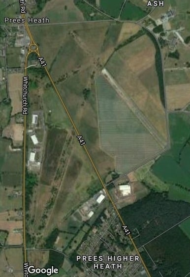
There was an RAF airport here in World War two with three runways that are still discernible on the satellite view, I have put runways on those three.
Part of one runway is still in use by the Skydive Tilstock Freefall Club.
The original Control Tower has been preserved and I am hoping to add that in as well as other aspects of what the area would have been like in World War 2.
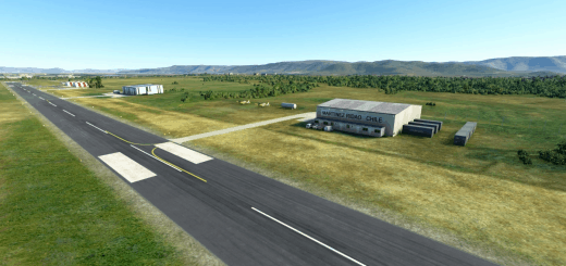
All I have done in this preliminary “0.1” version is to recreat those three runways as modern runways made with “green concrete”. The main runway is so long that its Ok for any of the big jets to take off so that should make it easier for “local holiday makers”.
I do hope others in North Shropshire will want to co-operate on local scenary etc and making improvements to facilities.
This version was created with the aid of just two YouTube videos. I was surprised at how easy it was.
Unzip “dtwasanet-airport-egct-tilstock-whitchurch-0.1.zip” and copy the folder “dtwasanet-airport-egct-tilstock-whitchurch-0.1” to your “Community” folder. This is a subdirectory under “…/fs/..” and the location depends on your installation set up. If you find a folder “…/fs/community/” that’s it.
If you want to edit my project yourself then the project is in the other Zip file. (“Tilstock Project 0.1.zip”).
You put that folder in your private documents folder and open the project file “Tilstock.xml” in MSFS Developer Mode once you have installed the SDK.
GPS Coordinates: 52.92681937041051, -2.6487447075984982

