Toledo State (5S4), OR, US v1.0
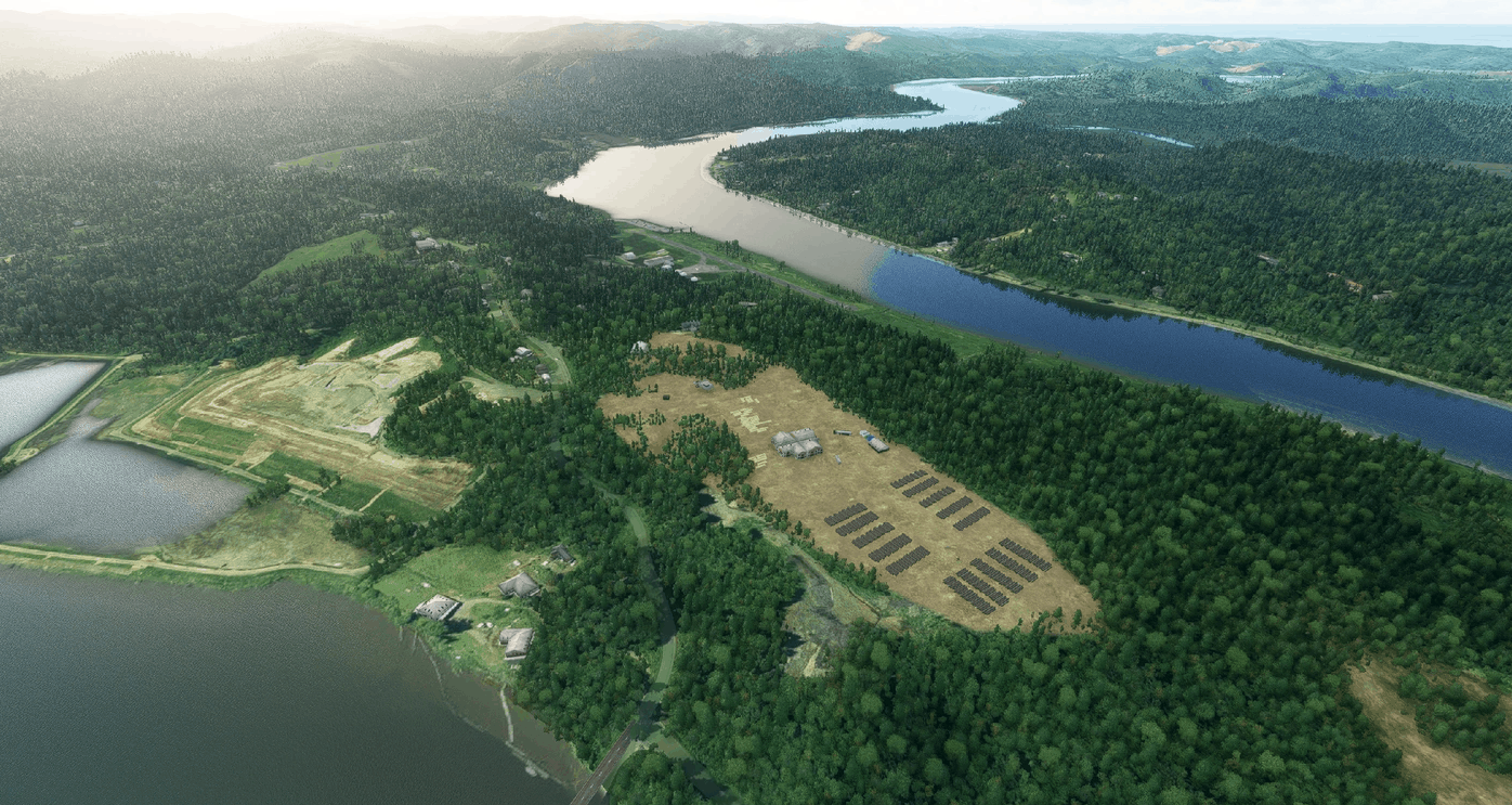
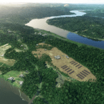
Toledo is a city located along the Yaquina river in Oregon, US. The airport is a quick hop from Flying M Ranch or Fairways and easy to reach by VOR and VFR navigation using ONP VOR or the Yaquina river.
The final approach to this airport is nothing less than fantastic, I suggest to watch some videos in youtube before attempting landing here. The pilot must coast the river at low altitude and be very precise when touching down as the runway is short at 533mt / 1700ft.
To make things more interesting there are tall trees on the right side and immediate vicinity of the runway. Other obstacles to negotiate are a nearby parking and small dock.
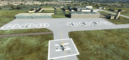
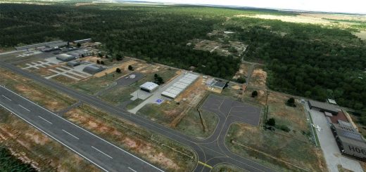
The surroundings of the airport have been carefully modelled and the large industrial complexes have been detailed. I could have added more but it would hit performance. Alltree company logging storage could not be detailed completely (my 3070 was starting to drop FPS), I had to keep that out to ensure that the scenery does not hit performance.
Happy banked and short landings.
CREDITS – IMPORTANT NOTE – READ CAREFULLY
In order for this scenario to work correctly you need to have installed Dave’s 3D People Libbrary by BadMed
Many many thanks to BadMed for this precious library.
GPS Coordinates: 44.6010278,-123.9396111

