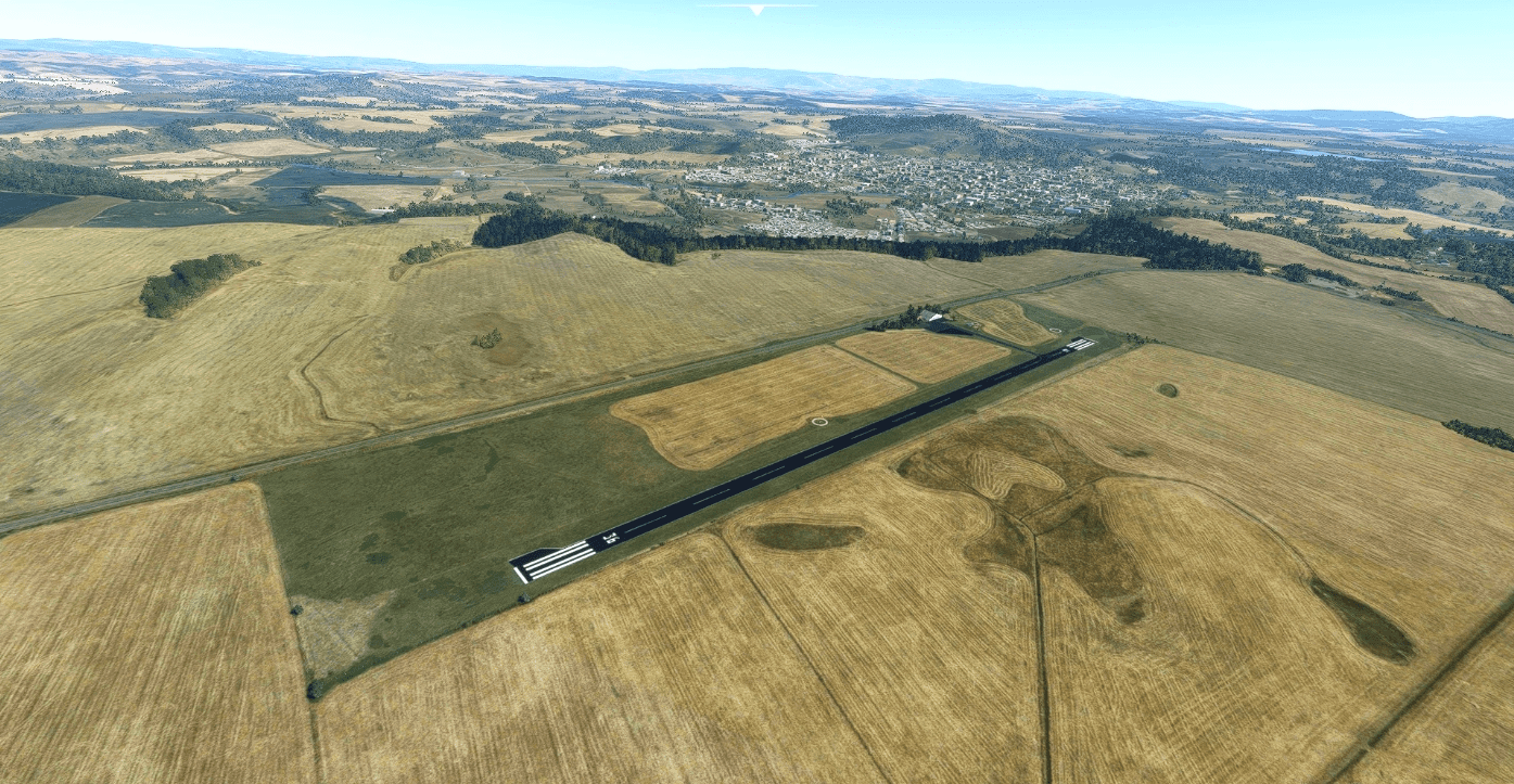
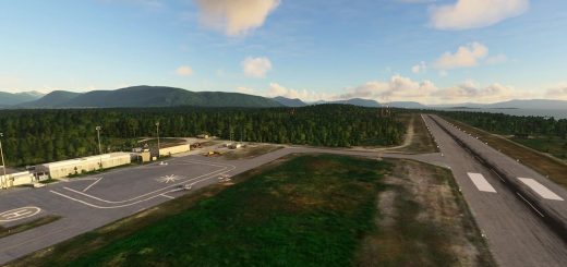
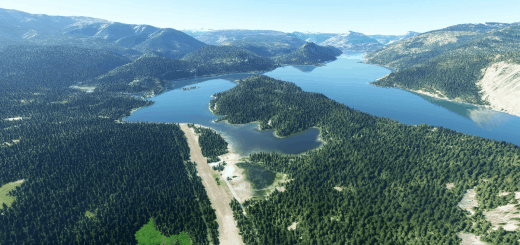
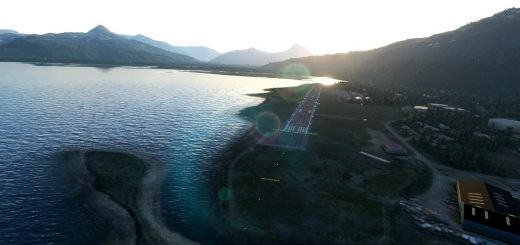
Traiguen, AD Traiguen SCTR v1.0
This is a public airfield located at 3 kms SE of Traiguen (52 km NW from Temuco city).
I have created this scenery using default MSFS SDK objects and some customized 3D objects.
Airfield information:
ICAO: SCTR
RWY: 18/36 (ASPH)
LENGTH: 800 x 18 m
ELEV.: 248 m / 814 ft
Installation:
Just decompress the folder(s) into your Flight Simulator “Community” folder.
If you have questions or suggestions, feel free to drop me a comment or PM.
Happy flights!!
GPS Coordinates: -38.27135, -72.66166

