VILH Leh v1.0
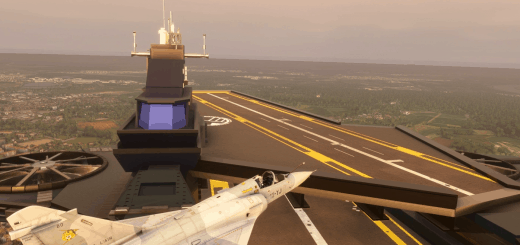
Leh/VILH is a unique airport in Indian Himalayas with one-way ops due to terrain: Landing runway 07 only, take-off runway 25 only. All commercial ops are conducted in the morning before thermal winds awake. It’s also a busy military airport with a mix of logistic ops and fighter ops.
This is an improvement of default airport, with the following added Features:
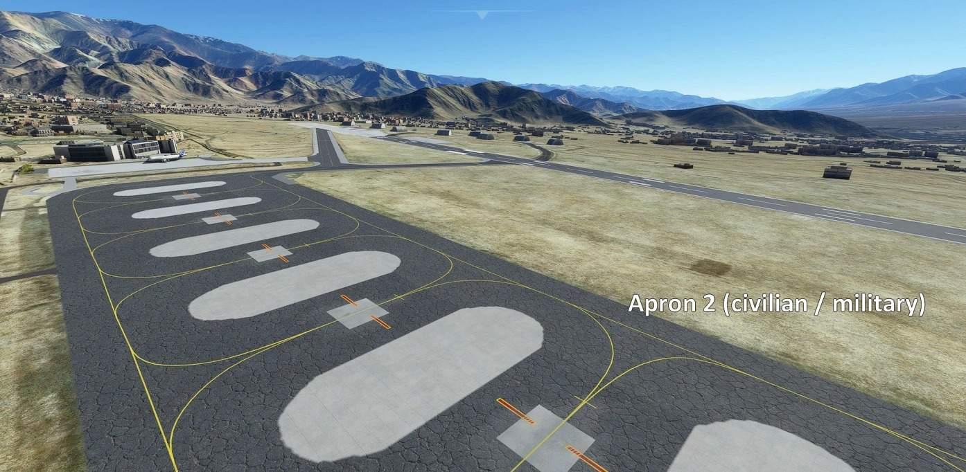
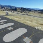
– terraforming to fix bumpy aprons and taxiways. Runway profile was updated with Google Earth viewer elevation data.
– PAPI fixed
– TOWER frequency
– complete rework of all parking stands.
– vehicule paths
– a few custom ground markings (helipads, stands on apron 1)
– some apron material updated, but most of them are stock
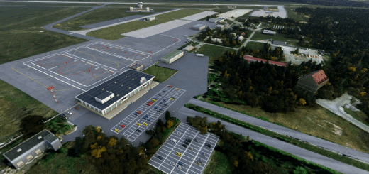
– basic scenery replacing wrong building with more accurate ones, especially mil-style hangars, and some static vehicules
Dig into the readme for VFR procedures, both standards (by Indian IVAO) and non-standards (from my own experience there in sep 2008), and challenge your manual piloting skills with your favorite airliner in those awesome landscapes.
GPS Coordinates: 34.136 77.546

