YMTI – Mornington Island (Gununa) Airport v1.0
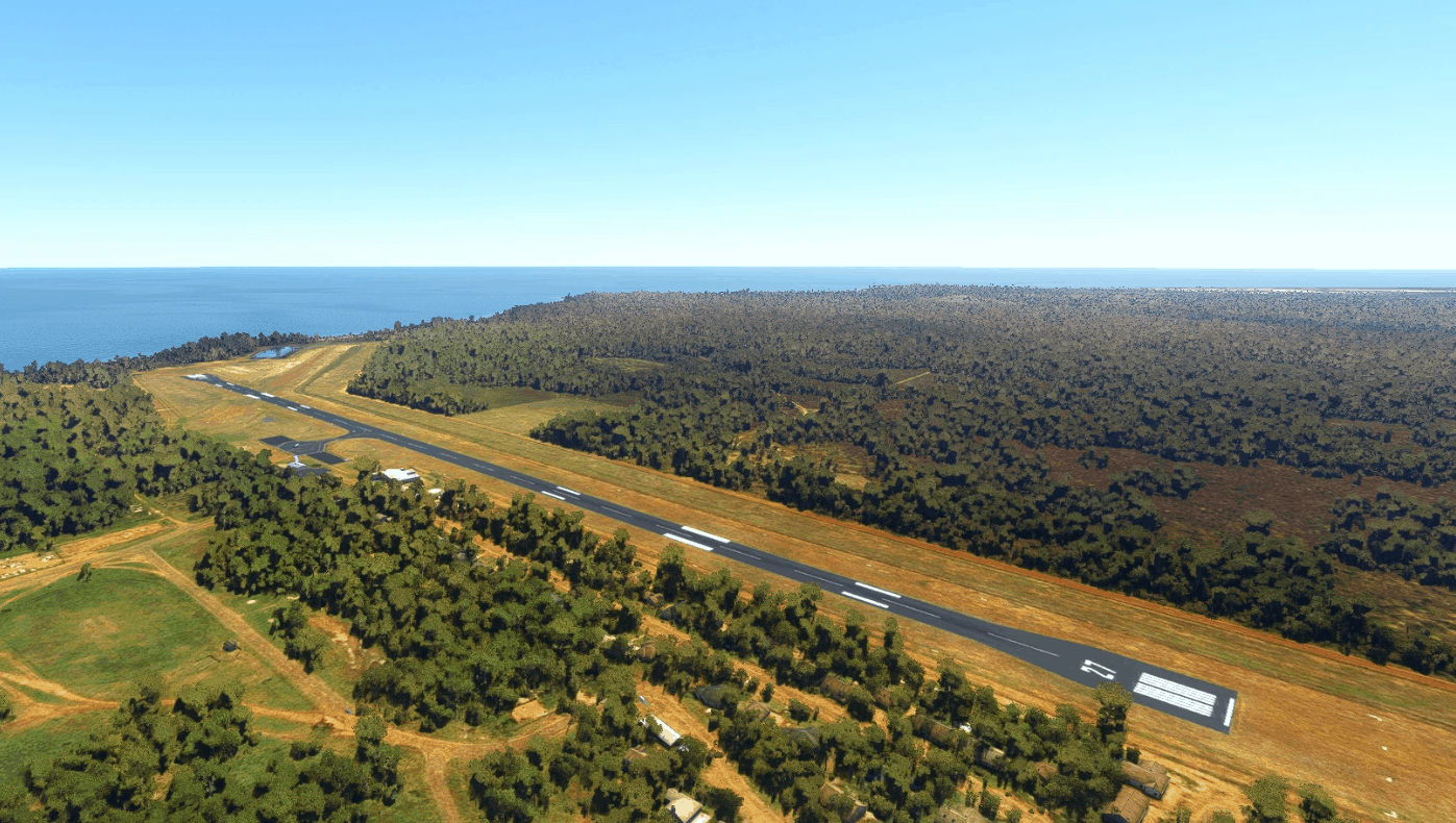
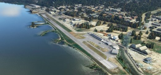
Mornington Island Airport is a public airport on (you guessed it) Mornington Island, with incredible views of the coast of North West Queensland and the Gulf of Carpentaria. It sits immediately NW of the island’s principle town of Gununa (which is how the how the airport is sometimes referred to on schedules) and 450km north of Mount Isa. The airport is served by Regional Express with regular flights to Burketown, Cairns, Doomadgee, Mount Isa, and Normanton, as well as frequent charter and medical flights to support clinics for the islands’ communities.
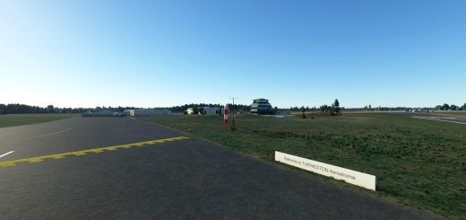
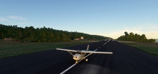
The main focus here was to modernize the scenery to more accurately reflect the airport after recent construction. This includes the closure of the dirt runway and the expansion of the apron.
Version 1.0:
Corrected the material and appearance of runway 09/27, including more accurate turnaround areas, gables,custom runway markings, and edge lighting
Removed the gables and cones from runway 12/30 and added painted Xs to denote closure
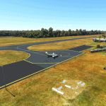
Extended both sides of the apron to include the new parking areas, and updated the painted lines to match
Corrected the parking stand locations to reflect the new parking areas
Removed trees from the sides of the runway and the runway 09 threshold
Removed the blurry autogen roads from near the airport
Added NDB masts and associated equipment just north of the airport
Misc. scenery additions and fixes
Known Issues:
No perimeter fence (won’t happen until Asobo develops a fence tool)
Minor scenery issues in Gununa itself
If I’ve overlooked anything or you have any suggestions, please leave a comment.
Thanks, and enjoy!
GPS Coordinates: -16.66191410268135, 139.1696342109213

