YNTN – Normanton Airport v1.0
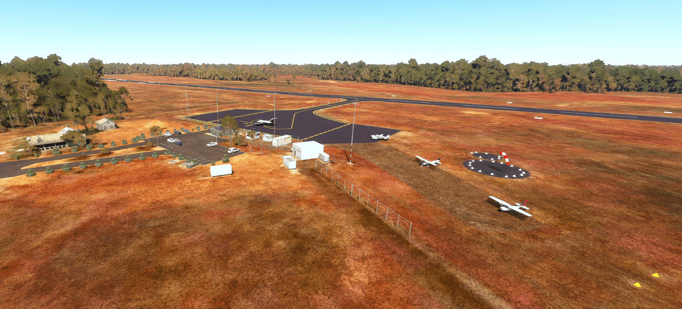
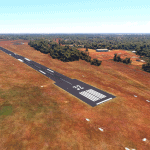
Normanton Airport is a public airport serving the town of Normanton, Queensland in the Gulf of Carpentaria. The town and airport sit about 300km west of Cairns, 235km NE of Mount Isa, and 30km SE of Karumba. It is served by Regional Express and West Wing Aviation, with schedules flights to Burketown, Cairns, Doomadgee, Karumba, Mount Isa, and other destinations. The airport also serves many charter, private, medical, and Queensland Police flights.
The main focus here was to fix the runway material and generally touch up the scenery. This scenery uses all stock assets, you don’t need to download anything else for it to work.
Version 1.0:
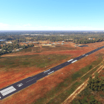
Corrected runway material, added edge lighting and custom runway markings
Fixed windsock locations and pads
Added gables and cones around runways and apron
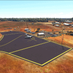
Fixed apron shape, painted lines, and added light poles
Fixed stand and parking locations on the apron
Added taxiway edge lighting
Removed blurry autogen roads near the airport
Added the NDB masts and equipment southeast of the airport
Removed airport service vehicles
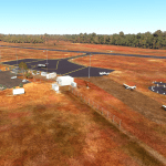
Updated the carpark to the newer one post construction
Removed trees from the end of runway 14 and from the highway
Misc. scenery and vegetation fixes/additions
Known Issues:
No perimeter fence (won’t happen until Asobo develops a fence tool)
If I’ve overlooked anything or you have any suggestions, please leave a comment.
Thanks, and enjoy!
GPS Coordinates: -17.684826107676482, 141.07212384543425

