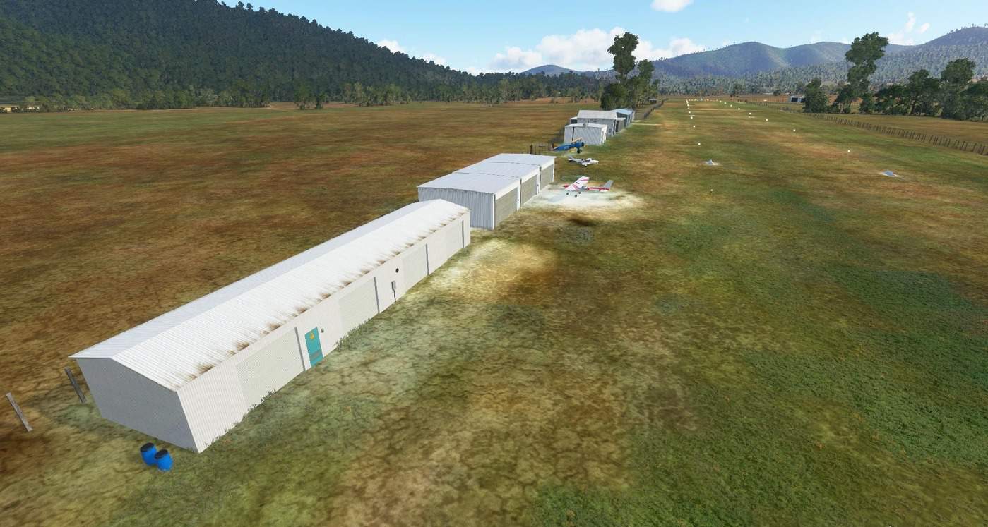
YPOK – Porepunkah Airfield, VIC v1.0
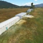
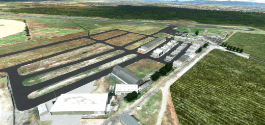
Porepunkah Airfield (ICAO: YPOK) is located in the Buckland Valley 1.5 nautical miles (2.8 km; 1.7 mi) southwest of the township of Porepunkah, Victoria, Australia. It is home to general aviation, ultralight and weight shift aircraft, gliders and occasionally hang gliders.
The airfield was originally a local farmer’s paddock, and in 1978, formally commissioned as Buckland Airfield and since then has grown into a picturesque grassed airfield with user hangars, public toilets, public car parking and visiting aircraft parking.
This is my first scenery. I have used both stock assets and from the following libraries which are required for the scenery to work:
These packs are also used by various other scenery makers. I do not believe this airport has night nighting in real life but I have added runway and parking lighting. I have not yet created any custom models for this scenery but have tried to capture the overall feel of the airfield. I hope you enjoy it.
GPS Coordinates: -36.718333, 146.884444

