19I Brownie’s Lebanon Airport v0.1
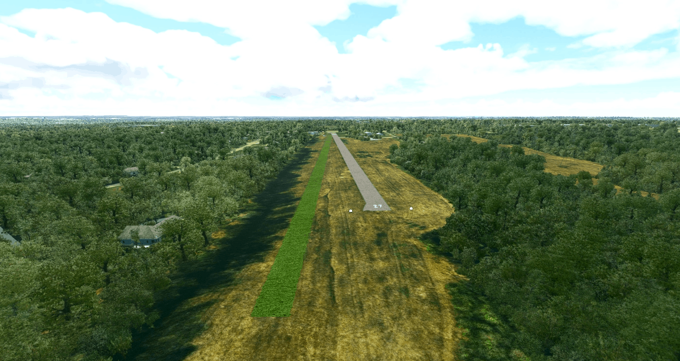
Brownie’s Lebanon Airport was a public airport located just northeast of the Kings Island amusment park. It was established in 1959 as Warren County Airport and renamed in 1968. The airport had two runways, a paved one labeled 9-27 and a grass one. The paved runway was damaged and made unusable in 2003, and the grass runway has not been maintained since 2017 when the last aircraft left the field. This means this is a semi-fictional representation of the airport, as this version contains an intact, numbered, and lit main runway and a mowed grass runway as if the airport had continued to be maintained.
I have included a CGL Google Earth orthoimage from 2014 for the airport as a seperate file.
GPS Coordinates: 39.3987 -84.2087

