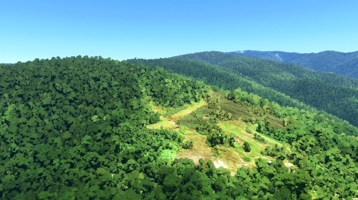
AYER Erume airstrip v1.0
AYER Erume is a simple, short, small bush airstrip in the Goilala area of Central Province, Papua New Guinea, at an elevation of 6550 feet.
Not essential, but the scenery is slightly enhanced if you have Dave’s 3D people library installed.
GPS Coordinates: -8.254006, 146.974686

