FRED Fredriksen Island, South Orkney Islands, Antarctica. v1.0
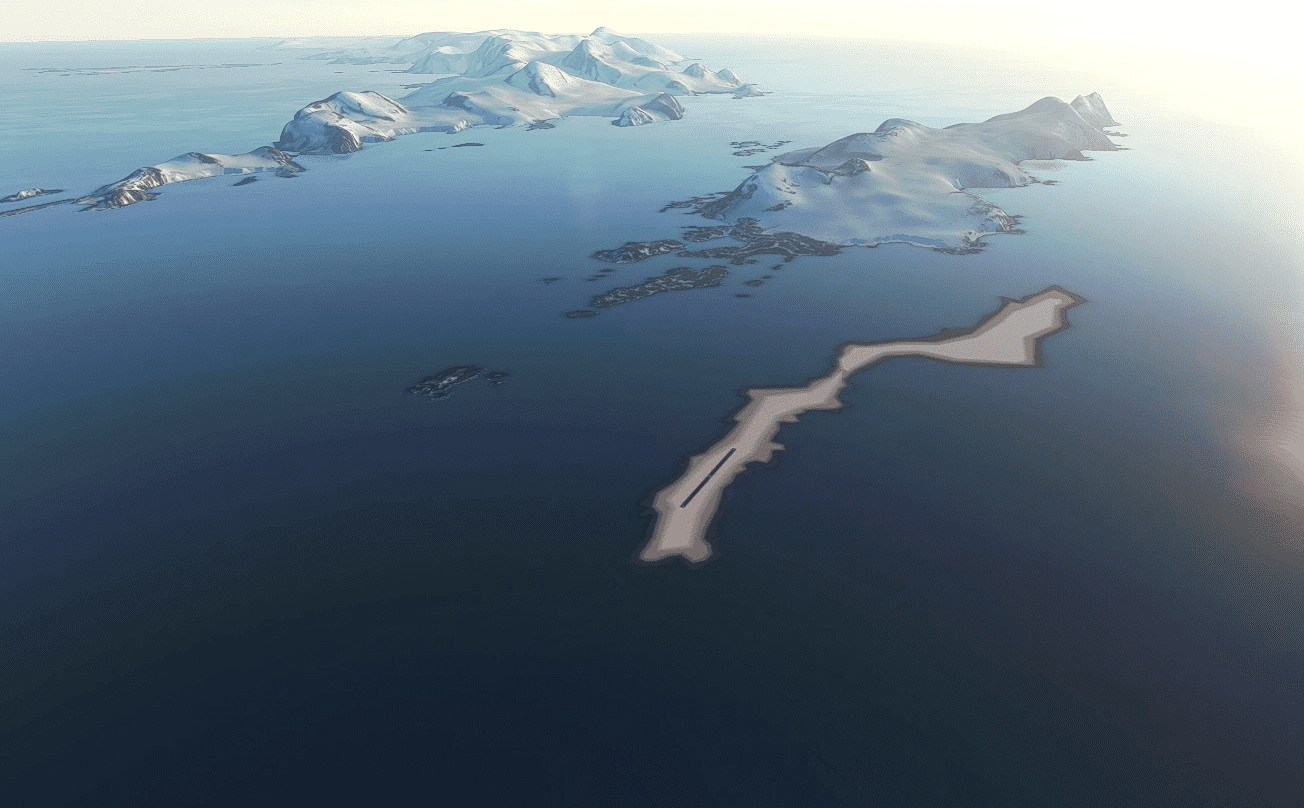
New fictitious Helipad/Airstrip Scenery for FRED Fredriksen Island, South Orkney Islands, Antarctica.
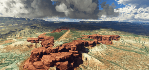
This scenery of Fredriksen Island, which was poorly shown on original msfs scenery. Barely seen as a dark blue shadow. Located East of Coronation Island, South Orkney Islands. (Bing image is blue!) Now re-texured, far from ideal, but back on the map at least. It is flat, but should be steeply elevated & rocky. A fictitious airstrip added for some fixed wing tourism if required. Nothing else, just bleak & cold!
It is located midway between the British Signy Research Station, Signy Island (West), & the Argentine Orcadas Base, on Laurie Island (East).
Sovereignty- “owned by no one” – It comes under the Antarctic treaty.
“FRED Fredriksen Island” msfs map identification.
Based on misc information & images.
All original msfs models etc used.
Installation – After unzipping, place the complete “sac-airport-fred-fredriksen-island” folder
into your MSFS community folder.
Thats it, Have fun.
Any suggestions/errors for the scenery please ask or comment.
Thankyou to all who enjoy these free downloads, its fun making them & hopefully the quality
will improve with experience.
If you like them please comment & give a star rating.
Thirsty work!
If you feel you would like to buy me a coffee, use the “PayPal me” button below.
Many Thanks.
GPS Coordinates: -60.736443, -44.988252

