Google Earth KML files for all MSFS airports v1.0
KML files for all 37,000 MSFS airports split into regions for a quick way to view an airfield for planning trips etc..
Derived from the Little Navmap database file little_navmap_msfs.sqlite
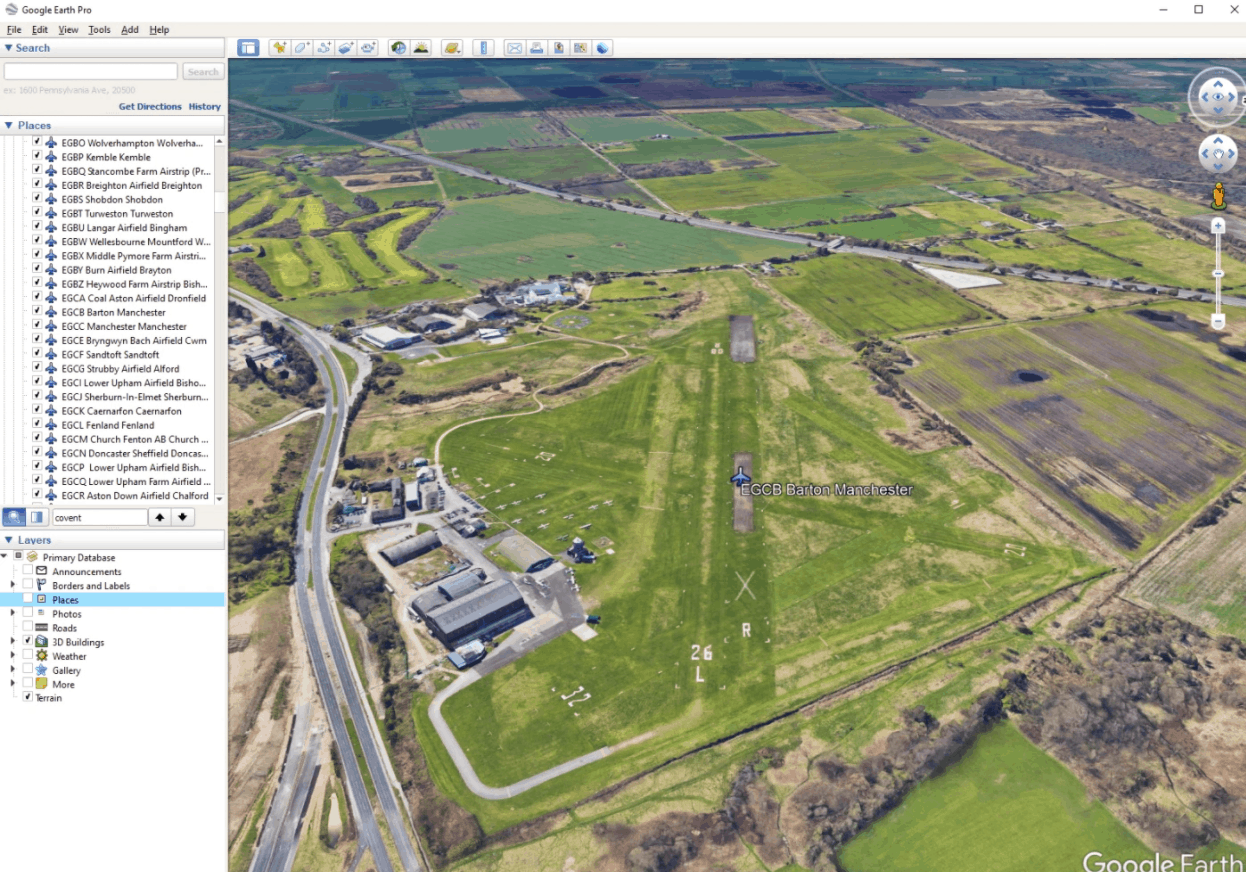
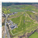
Drag and Drop a .kml file into google earth app and when double clicked on an airport icon on the map or name in the sidebar will take you to an aerial view of the airport aligned with it’s primary runway.


![‘Route des Grandes Alpes’ Bush Trip [German and English] v1.0](https://www.allflightmods.com/wp-content/uploads/2020/12/Route-des-Grandes-Alpes-Bush-Trip-German-and-English-v1.0-4-520x245.jpg)
