I-90 coast-to-coast flight plan v1.0
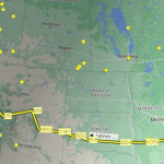
Flying west from the Massachusetts coast (Boston; KBOS) to Boeing/King International (Seattle; KBFI) above the 3,020 mile / 4,861 km-long Interstate 90. Due to airport locations, this route by air is 2,797 miles / 4,501 km (2,430 nm). The route stops in or flies over 12 states: Massachusetts, New York, Ohio, Indiana, Illinois, Wisconsin, Minnesota, South Dakota, Wyoming, Montana, Idaho and Washington State.
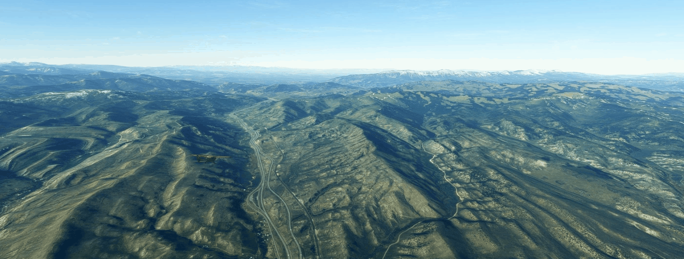
The leg safe altitude is 6,000 feet until you hit the obvious elevations out west, where you’ll need to be at 14,000 feet if you follow the flight plan exactly in that section.
I have default scenery for every airport, which (given my collection) likely means there is only default scenery for these airports.
I’ve included the flight plan in both MSFS (.pln) and Little Navmap (.lnmpln) formats.
There are 22 legs (for an average of 110 nm per leg):
KBOS to 4B0 (126 nm)
4B0 to KFZY (122 nm)
KFZY to 28NY (140 nm)
28NY to 2G1 (96 nm)
2G1 to 88OH (95 nm)
88OH to 45II (147 nm)
45II to LL81 (120 nm)
LL81 to 01WI (114 nm)
01WI to 7MY9 (102 nm)
7MY9 to KOTG (124 nm; halfway point at around 1,200 nm)
KOTG to 2SD4 (116 nm)
2SD4 to 5V8 (141 nm)
5V8 to 3SD2 (65 nm)
3SD2 to 01WY (81 nm)
01WY to KBYG (82 nm)
KBYG to 00U (91 nm)
00U to 29S (137 nm; a slight deviation to the south of I-90 to land at an airport in the mountains)
29S to 38S (117 nm)
38S to 9S4 (98 nm)
9S4 to 04WA (108 nm)
04WA to 04WN (97 nm)
04WN to KBFI (114 nm)

