IGNY Signy Research Station, British Antarctic Survey, Signy Island, Antarctica. v1.0
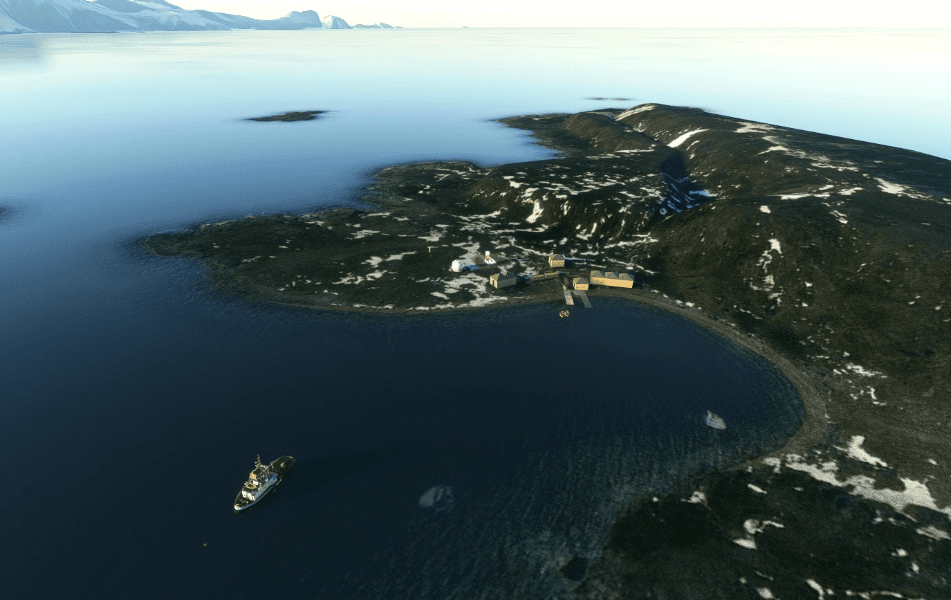
New Helipad Scenery for IGNY Signy Research Station, Factory Cove, Borge Bay, Signy Island, Antarctica.
This scenery is of the British Antarctic Survey, Signy Research Station. Signy Island is one of the South Orkney Islands, Antarctica. South of the larger Coronation Island. Signy Research Station provides UK scientists with significant opportunities to study…….
Sovereignty- “owned by no one” – It comes under the Antarctic treaty.
“IGNY Signy Research Station” msfs map identification.
This is New very basic scenery, with posibly a fictitious Helipad, at the British, Signy research station, Signy Island. The Island was flat! so some basic terraforming has been done to more realistically represent the scenery. Very basic models used so lots of room for improvement, but the main goal is to put some base on the map in this remote area.
POI placed for Powell Island, Monroe Island, Robertson Islands Group, & Inaccessable Islands.
Based on misc information & images.
All original msfs models etc used.
Installation – After unzipping, place the complete “sac-airport-igny-signy-research-station” folder
into your MSFS community folder.
Thats it, Have fun.
Any suggestions/errors for the scenery please ask or comment.
Thankyou to all who enjoy these free downloads, its fun making them & hopefully the quality
will improve with experience.
If you like them please comment & give a star rating.
Thirsty work!
If you feel you would like to buy me a coffee, use the “PayPal me” button below.
Many Thanks.
GPS Coordinates: -60.708556, -45.594957

