‘Route des Grandes Alpes’ Bush Trip [German and English] v1.0
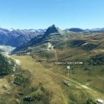
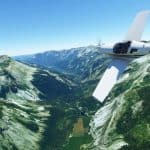
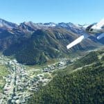
This bush trip covers the complete ‘Route des Grandes Alpes’ (If you don’t know it, just google for it.)
It’s quite a famous trip from the Lake Geneva through the French Alps all the way south until you reach the Mediterranean Sea.
You will cross 16 larger alpine passes (and a few smaller ones). Since we are in the alps and larger airports are therefore rare, some airstrips are not that long – but it’s still all definitly possible to master!
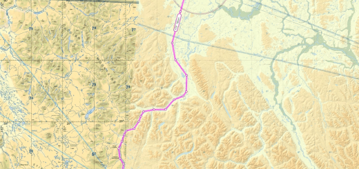
The trip is separated into 7 legs with a total length of a bit less than 3 hours. See the Navigation-Map within the images at this site.
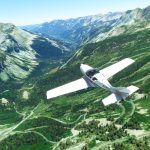
You can choose the weather and time as you like. The airplane is set to the JMB Aircraft VL-3, since it can gain height very quickly (which is quite helpful in the mountains, right?)
The leg-description-text is available in english and german. Other languages will only follow if you supply me with your language file
Since it’s might sometimes not be that easy to follow the descriptions of the route (because the landscape is not ‘unique’ enough at a few places), it might be helpful to have a (topographic) map opened at the same time to find the cities and valleys.
Installation as always:
Just copy the extracted ‘route-des-grandes-alpes’-folder into your ‘Community’-directory
Many, many thanks to f99mlu for creating the awesome BushMissionGen!!

![‘Route des Grandes Alpes’ Bush Trip [German and English] v1.0](https://www.allflightmods.com/wp-content/uploads/2020/12/Route-des-Grandes-Alpes-Bush-Trip-German-and-English-v1.0-4.jpg)
