Strawberry Ridge Airfield v1.0
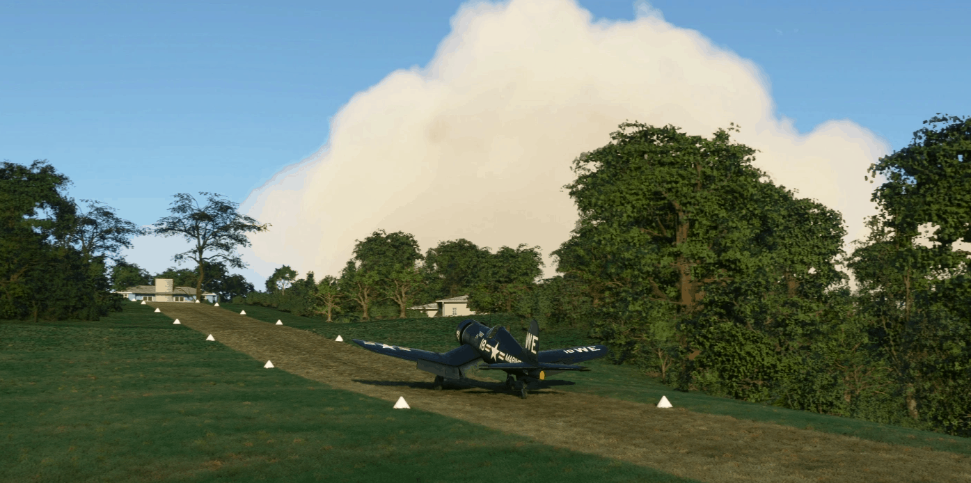
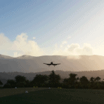
This is a 1,000 foot long 40 foot wide private grass runway which has a gradient ranging from 4% to 16% slope, located just east of the highest ridge of the Appalacian mountains near Little Switzerland, North Carolina. Although due to some SDK limitations (and inexperience on my part) the profile isn’t perfect, but much attention was given to trying to match survery sketches of the runway, including altitudes at either end of the runway, as well as from drone photogammetry taken in 2018.
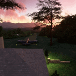
Strawberry Ridge has a unique offsite “ramp” of sorts located to the north east, requiring taxing through a narrow trail between trees to get to the runway. The terrain in that area is not as precise as I had less data other than peripheral views from some drone photographs. There’s also a place to park near a house at the lower western end of the runway. The buildings are AI generated, other than the shed 1/3 of the way from the top of the hill and the house at the top of the hill which is the other unique feature of this airfield since it forms a very visible landmark marking the end of the runway. The AI generated version was located behind the hill and and the shed was located on top of the hill, so those two structures were erased. The shed is from the SDK scenery library and the house is my first attempt at modelling for a game environment, using Blender for the first time. I’m hoping to learn to model and texture better in the future, so any tips would be greatly appreciated, or any model contributions to replace this house and other structures at this airfield would be welcome!
GPS Coordinates: 35.853195, -82.110615

