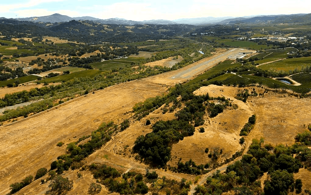
Tracked VFR flights from Cloverdale Municipal (O60) v1.0
I tracked flights out of two California airports (Cloverdale and Placerville) for four days because I was interested to see the destinations to which people were flying and whether there was a pattern to them. Looking at the flights, I think it’s a mix of pleasure and commuter traffic. For the latter, with a couple of exceptions, it wasn’t the same aircraft doing the same route; sometimes it was even a helicopter, so I’m guessing the wealthy just pay to be flown to their offices in the more urban areas from their retreats in the hills? I’ve noted which aircraft were used for each destination in case you want to go for something similar.
Some routes are short, some are considerably long.
The destinations:
Buchanan Field, KCCR, 65nm (Cessna T210)
Charles M. Schulz, KSTS, 18nm (Van’s RV-8, Cessna Skylane, Taylorcraft F-21A, Van’s RV-14A)
Lampson Field, 1O2, 14nm (Cessna Skylane RG)
Napa County, KAPC, 48nm (Piper Malibu Mirage)
Porterville, KPTV, O60, 250nm (King Air 90)
Rohnerville, KFOT, 119nm (Van’s RV-6A)
Santa Maria, KSMX, 263nm (Champion Decathlon)


