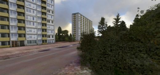
Bigge-Lister-Lakes LIDAR 1m DEM v1.0

MSFS 2024 Addons |
Bigge-Lister-Lakes LIDAR 1m DEM v1.0

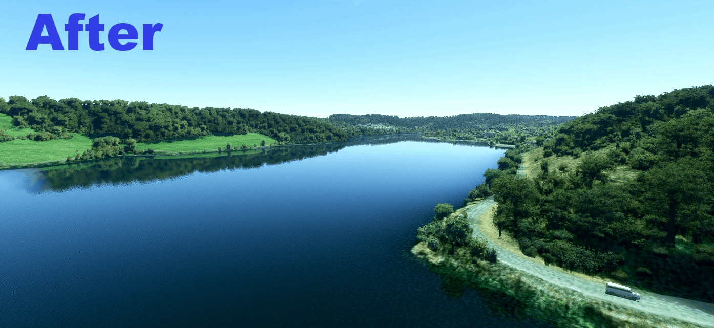
Bigge – Lister – Lake
LIDAR Digitial elevaton model 1m resolution horizontal 0,1m vertical (Source Geobasis NRW)

North rhine westphalia – Sauerland
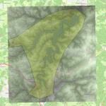
This mod include a high resolution elevation model of the a.m. lakes. Considered area see picture

Known problems:
There may be jerkiness at the beginning.
In some places the elevation model changes very late when approaching (this is a known Morphing problem of Asosbo).
In some places the water rises too high. This is due to the too wide water masks that Asobo uses.

Please report if you also have these problems?

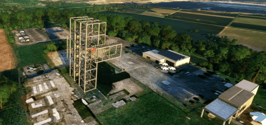
As a take-off base to admire these lakes in low-level flight, I recommend this airfield

Have fun!

Credits to Paavo for his amazing MSFS Toolkit by Nool Aerosystems (https://msfs.nool.ee/)

GPS Coordinates: 51.083748136103026, 7.855334654313277


Author: DeltaTango
This content was uploaded by website visitors. If you notice any mistake, please let us know.


Are you looking for MSFS 2020 Scenery Mods at one place? Then you have landed in the right place. If you have already chosen the file, click on Mod download button and follow the instructions. It’s as easy and simple as possible! Bigge-Lister-Lakes LIDAR 1m DEM v1.0 Mod could be a great boost to your game and there are no reasons why to react negatively. Take the best that you can and don’t look back – you must be orientated to the future and new experiences.


Download


Useful Information:
- How to install Microsoft Flight Simulator 2020 Mods
- Microsoft Flight Simulator 2020 System Requirements
- Microsoft Flight Simulator 2020 Multiplayer
- Microsoft Flight Simulator 2020 VR
- Microsoft Flight Simulator 2020 Price
- Microsoft Flight Simulator 2020 Release Date

You may also like...

Leave a Reply

Your email address will not be published. Required fields are marked *