Brasília MegaPack – Brazil v1.0
Hello again!
Brasilia, Federal District – Brazil
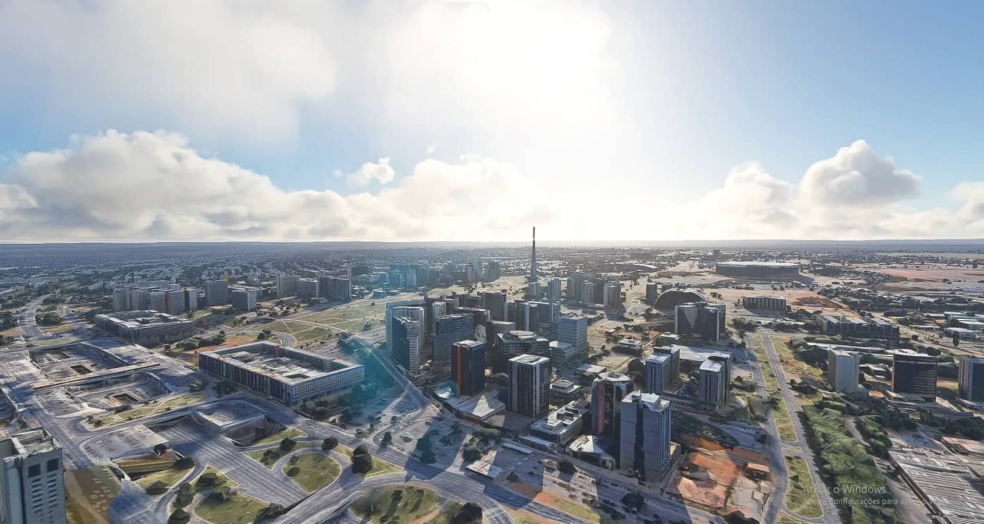
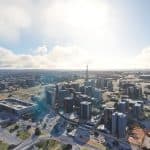
Now bringing you the Brazilian capital. With an amazing shape of a plane -literally-, and about 3 million citizens, Brasilia is a wonder when we talk about modernity and technologies in construction departmernt.
Out of the hands of Oscar Niemeyer (1907-2012), one of the greatest architects of all time and a proud for Brazil, and the Urbanist Lucio Costa, Brasilia was conceived to be the central of politics in country. It is located basically in the middle of Brazil in a region known as “Planalto Central”, and it’s famous shape has the name of “Plano Piloto” (Pilot Plan).
In 1960 Brasilia has come to the world, a city with only 60 years old and surrounded by lakes. The Plano Piloto contains the “Asa Sul” (South Wing) and “Asa Norte” (Noth Wing), with the middle of these two areas containing the administractive center of Brasilia, where are located the Esplanade and the Ministrations.
Fly around this wonder daparting of Juscelino Kubistchek airport, one of the biggest and most frequented airports of Brazil, located just near the Plano Piloto.
INSTALLATION:
-Inside the ZIP file there is a note. Open it.
-Put the link that is in it into your browser and download the file containing the city.
-Just drag and drop the content in the ZIP file into your Community folder of the simulator
-ENJOY!!
NOTES:
-There are areas just near the Plano Piloto that are mapped with Google data, but isn’t 3D photogrammetry. This is because the 3d photogrametry of Google just covers the area of Plano Piloto, nothing else near.
-There are no Satelite Cities included. They also don’t have photogrammetry data.



Não funcionou para mim… 🙁