Churfirsten (Mountain Range) Switzerland v1.0
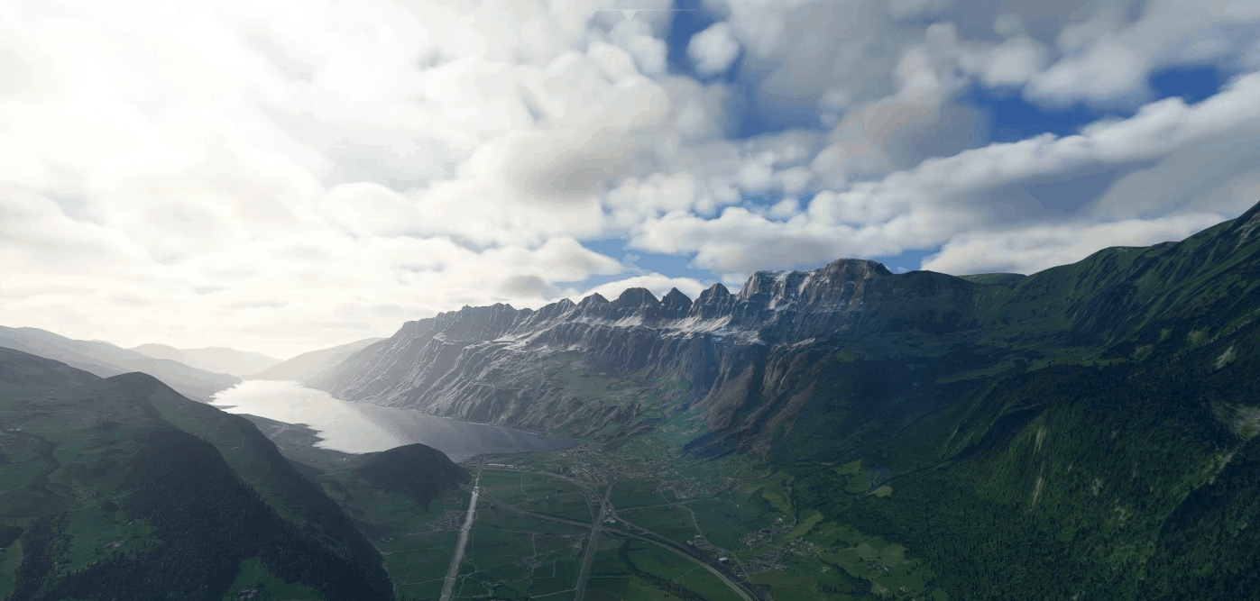
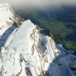
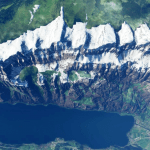
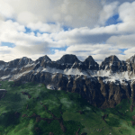
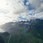
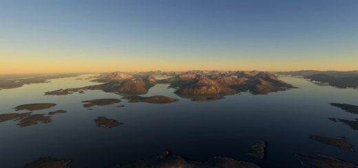
Churfirsten (Mountain Range) are seven Mountain Peaks between Walensee (Lake) and the Valley of Toggenburg in Canton St. Gallen (Switzerland). The highest Peak has an Elevation of 2,306m (7,566 ft). The southern front is very steep and on the eastern end there is a canyon very popular for Base Jumper (seen in the Movie Point Break II). The northern back of the Mountains is a pretty Skiing Area. The next Airports are Flugplatz Mollis LSZM (Swiss Airforce), and Flugplatz Bad Ragaz LSZE. The Highway in the Valley between Bad Ragaz and the Churfirsten once was used from Swiss Military as a Backup runway. Good luck when you try to land there!
File:
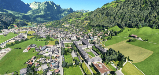
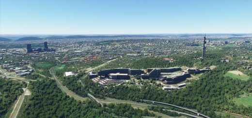
The Scenery is a mix of two seasons. The Google Data are shot in Winter, the MSFS Data look like Summer.
Credits:
This scenery has been extracted from Google Maps, hence all 3D credits goes to Google.
This scenery has been generated with the Google Earth Decoder tool (credits to /u/Jonahex111)
Installation:
Extract Scenery_Churfirsten in the Community folder. That’s it.
GPS Coordinates: 47.154631, 9.292615

