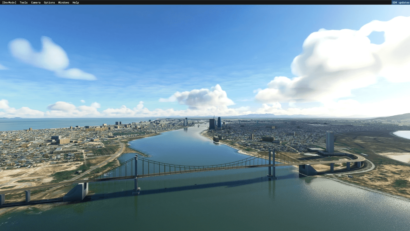
Da Nang Landmarks v1.0
Compatibility with DOMINICDESIGNTEAM – VVDN-DA NANG INTERNATIONAL AIRPORT MSFS
Da Nang (also written as Đà Nẵng, Danang,[6][nb 1] /(ˌ)dɑː, də ˈnæŋ, ˈnɑːŋ/ dah, də NANG, NAHNG;[7] Vietnamese: Đà Nẵng, [ɗâː nǎˀŋ] ( listen)) is a class-1 municipality and the fifth-largest city in Vietnam by municipal population.[8] It lies on the coast of the South China Sea at the mouth of the Hàn River, and is one of Vietnam’s most important port cities. As one of the country’s five direct-controlled municipalities, it falls under the administration of the central government.
Da Nang is the commercial and educational centre of Central Vietnam and is the largest city in the region. It has a well-sheltered, easily accessible port, and its location on National Route 1A and the North–South Railway makes it a transport hub. It is within 100 km (62 mi) of several UNESCO World Heritage Sites, including the Imperial City of Huế, the Old Town of Hội An, and the Mỹ Sơn ruins. The city was known as Cửa Hàn during early Đại Việt settlement, and as Tourane (or Turon) during French colonial rule. Before 1997, the city was part of Quang Nam-Da Nang Province.
On 1 January 1997, Da Nang was separated from Quảng Nam Province to become one of four centrally controlled municipalities in Vietnam. Da Nang is designated as a first class city,[9] and has a higher urbanization ratio than any of Vietnam’s other provinces or centrally governed cities.[10]
Source: WIKI
GPS Coordinates: 16.059203821009604, 108.22009944658824

