Elevation Fixes for Omaha, Nebraska Area (KOMA) v0.2
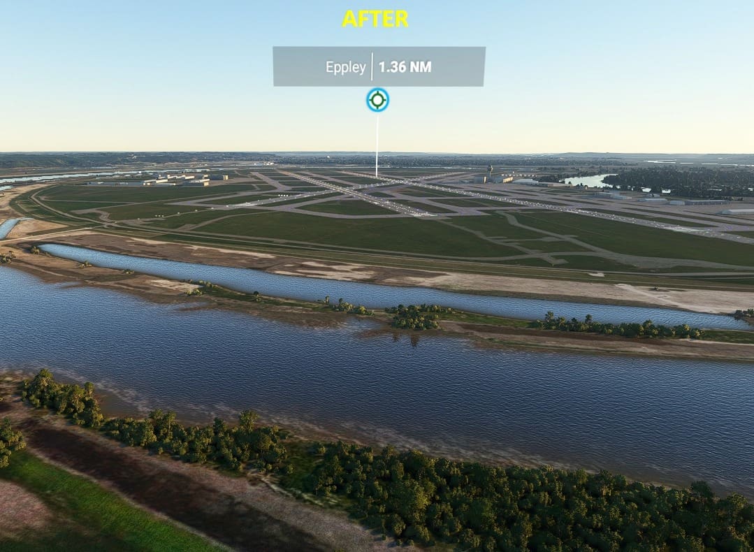
Elevation fixes and updates around the Missouri River for the Omaha, Nebraska area. This update fixes the elevation issues and giant spires near Eppley Airfield (KOMA). The fix is not perfect, but it should make the area very flyable again.
Alpha 0.2 Update (current release) – Resolved Issues
Slight improvement in water blending
Fixed certain buildings being excluded
Alpha 0.1 (original release) – Known Issues
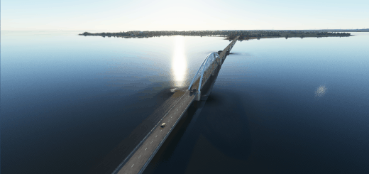
Some bridges are now underwater (this was necessary in order to level off the water)
The bridge near downtown has a visual obstruction error (again – necessary to level off)
A few water blending issues flying over the river at certain altitudes (mainly only the area near the airport)
Some terrain rectangles mistakenly had exclude buildings checked
GPS Coordinates: 41.301998792, -95.893663092

