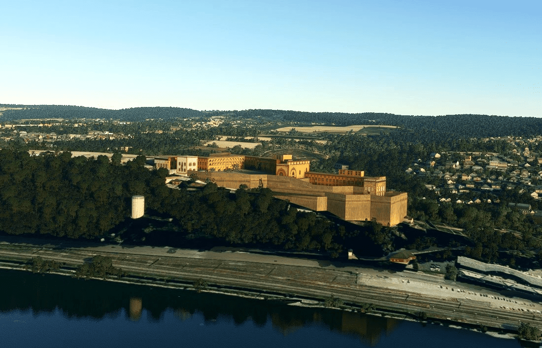
Festung Ehrenbreitstein v1.0
The Ehrenbreitstein Fortress has existed since the 16th century, originally an Electorate of Trier, later a Prussian fortification opposite the mouth of the Moselle in Koblenz.
Its baroque predecessor, which dates back to a castle built around the year 1000, was temporarily the residence of the Electors of Trier and was blown up by French revolutionary troops in 1801. In its present form the citadel (actually called Feste Ehrenbreitstein, planned name was Feste Friedrich Wilhelm) was rebuilt between 1817 and 1828 under the direction of the Prussian engineer officer Carl Schnitzler.
GPS Coordinates: 50.3646 7.615

