FUKUOKA RW34 Scenery v1.0
Overview
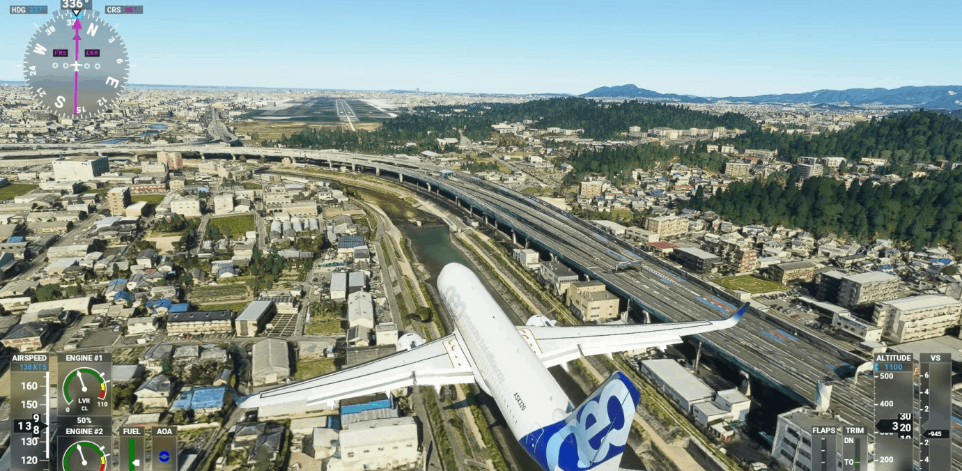
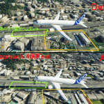
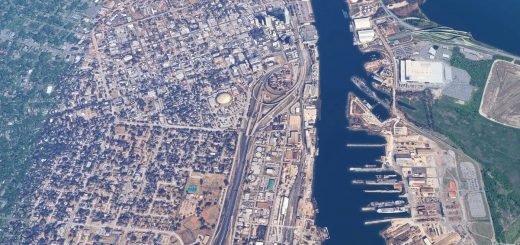
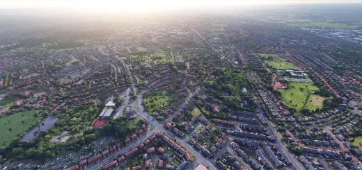
I created Scenery on the Fukuoka (RJFF) RW34 side.The material is GOOGLE.
It took time to pull out the mountains on the east side, and it took about 50 hours to create this Scenery.
I did my best because I’m local.
The range is shown in the 6th photo. It will be only on the south side of the airport.
The resolution is 0.25 M/PIXEL and The size is huge with 450MB.
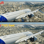
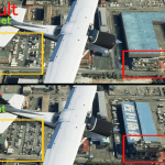
If you put this scenery in and look down from the plane, it is clear to an altitude of about 300 FT.
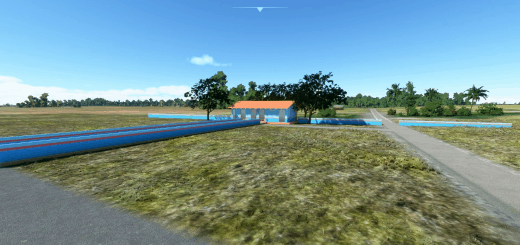
However, if you fly low below 250Feet, you’re blurry.
About Fukuoka RW34 landing
Fukuoka City has a population of 1.6 million and has only one runway, so it is the busiest airport in Japan.
RW34 landings are frequent because of strong northwesterly winds during the winter months.
The RW34 usually takes a Visual Approach and lands while circling the Fukuoka city.
If visibility is extremely poor, the ILS approach (ILS 108. 9) is done, but this landing is rarely made due to noise problems.
GPS Coordinates: 33.572254, 130.459967

