GER – BW #3 – Swabian Jura North v1.1.0
The third out of upcoming six packages contains points of interest in the Southwestern region of Baden-Württemberg. The castles are located in the Northern area of the Swabian Jura (“Schwäbische Alb”).
The models are released under contract with State Office for Monumental Preservation at Stuttgart Regional Council. All models provided have been created by using photogrammetry which represent the geometry and textures in high level of detail.
For version 1.1.0, the following points of interests have been adapted for MSFS 2020 and integrated into the package.
Hohenneuffen Castle (location)
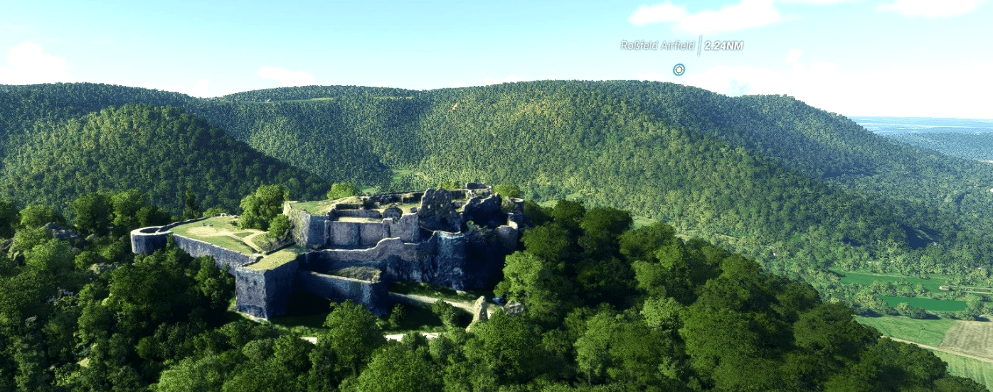
Hohenneuffen Castle is a large ruined castle in the northern foothills of the Swabian Alb, above the town of Neuffen in the district of Esslingen in Baden-Württemberg. The medieval castle is situated on a large late Jurassic rock on the edge of the Swabian Alb at an elevation of 743 m (2437 ft) in a strategically advantageous location on the slopes of the mountain range.
Hohenurach Castle Ruins
Built in the 11th century by the Dukes of Urach, in the 16th century Hohenurach Castle was developed into a major fortification by the Dukes of Württemberg. It has been a ruin since 1765 and is Bad Urach’s landmark.
Staufeneck Castle
Staufeneck was built by the Lords of Staufeneck , who were probably relatives of the Staufer family. The castle complex is now a ruin , which houses the Staufeneck castle restaurant and hotel.
Teck Castle
Teck Castle (German: Burg Teck) was a ducal castle in the kingdom of Württemberg, immediately to the north of the Swabian Jura and south of the town of Kirchheim unter Teck (now in the district of Esslingen). The castle took its name from the Teckberg ridge, 2,544 feet high, which it crowned. It was destroyed in the German Peasants’ War (1525).[1] The site’s current buildings were constructed during the 19th and 20th centuries on the ruins of the original castle.
Rechberg Castle Ruin
Together with the castles of Hohenstaufen and Stuifen, the Rechberg is one of the three “Kaiserberge” – the “Emperor Mountains” – in what was once Staufer territory. The castle ruin is considered one of the finest in Swabia. Built in 1194 as the seat of the Lords of Rechberg, the castle defied the passage of centuries and even the Peasants’ War unscathed, and it wasn’t until 6th January 1865 that it was destroyed after being struck by lightning.
GPS Coordinates: 48.4850506,9.3813808

