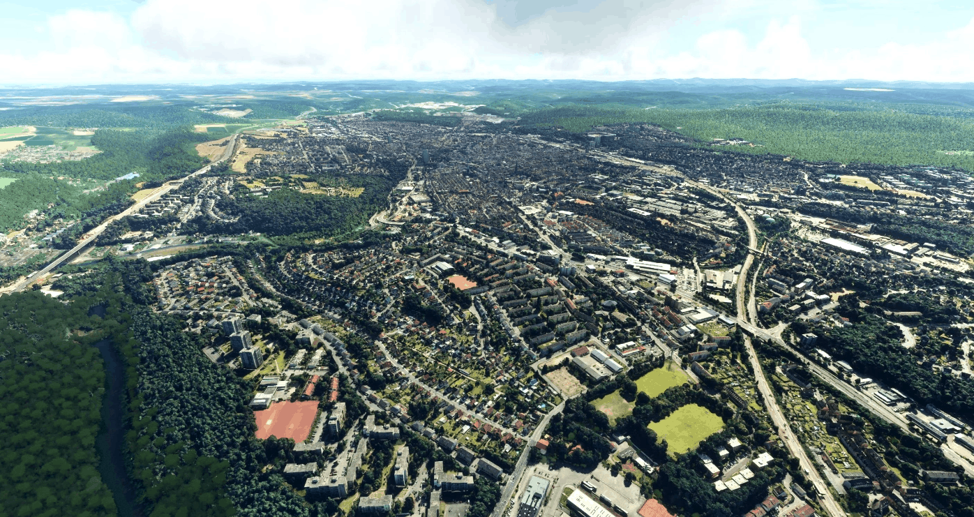
Kaiserslautern City – Germany – in Photo3D – east of Ramstein Air Base ETAR v1.0.0
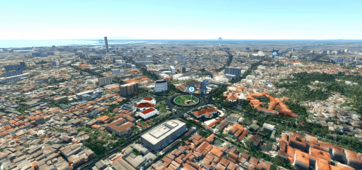
This is a photogrammetry 3D version of the City of Kaiserslautern – nickname “K-Town” – in South-West Germany.
It’s just east of the US Military Ramstein Air Base – Icao-code: ETAR. If you are on the final to land on runways 26 or 27, this is the city you will flyover just before touchdown (or departure direction east taking off from runways 08 or 09 ).
I’ve tried to use all of the Google Maps photogrammetry, which is available for this city. The quality and detail of the photo3D buildings is kept in a mix of quality and size of files – so loading time and fps should be fine.
Also i’ve added an object tor the inside of the Betzenberg Soccer Stadium (thanks to “master-william” at 3D-Warehouse for the base object parts), because i didn’t like the dark looking and fixed shadowed photogrammetry inside look and i wanted the see the real daytime shadow moving over the inside. It will be lit up at night (actually at day too, but less noticable …).
Many of the fake looking photogrammetry trees around the city got erased, but the trees close to the city borders are connected to tiles with objects of buildings and trees right in between the city buildings i had to keep in there. To get rid of those i would have had to load each of the over 1000 object tiles into Blender and try to erase those polygons and fill it with something else – this would have been a ridiculous task taking for sure a few month – not worth it … The adjustment and recalculation of the over 8000 textures and their colors to come close to the MSFS2020 world colors helped to make them not too noticable.
One little problem – this new inside object in the Stadium won’t show up until you pass over closer to it once for the first time – then it will pop up right away and will stay and be visible until unloading the scenery. I couldn’t get rid of this behavior, yet.
Special thanks to Google and their Photogrammetry 3D objects.
Installation: Just unzip the file “gsdovah-kaiserslautern3d.zip” and copy the folder called “gsdovah-kaiserslautern3d” to your Community folder – installation done !
GPS Coordinates: 49.444722, 7.768889

