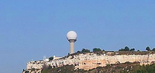
La Dôle RADAR Station v1.0
From Wikipedia;
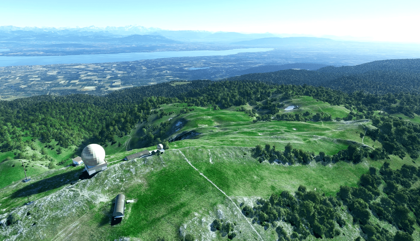
La Dôle is a mountain of the Jura, overlooking Lake Geneva in the westernmost part of the canton of Vaud. Rising to an altitude of 1677 meters, it is the second highest peak in the Swiss portion of the Jura, after Mont Tendre. Administratively, the summit is split between the municipalities of Gingins, Chéserex and La Rippe. The mountain is also close to and easily accessible from Saint-Cergue and the Col de la Givrine to the north, both above 1000 meters and connected to Nyon on Lake Geneva by road and by the Nyon–St-Cergue–Morez Railway.
From Willfly;
The various electronic facilities on the top include a ball containing aviation radar, a Swiss weather station, television, radio and EBU telecommunications and goodness knows what else. Let’s not go there.
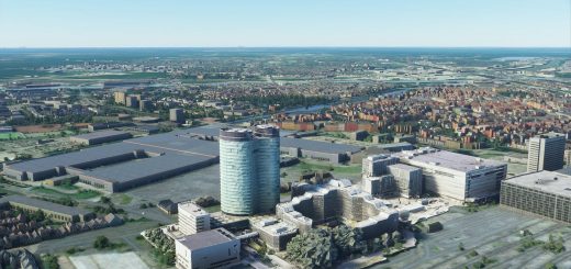
This is a simple modelling of the RADAR array and masts (custom 3D Models) as the Blackshark did a total fail on the AI and injected three enormous housing appartment blocks instead of what it should be.
Hope this makes the LUSAR1R STAR in to LSGG a more visually accurate “picture” for you.
You know how us pilots like to see real stuff on the ground to tell us when to make that turn, etc.
Unzip and deposit the extracted folder in to your Community Folder as normal.
Thank You, Safe Flights and All The Best, Merci.
Will
GPS Coordinates: 46°25′30″N 6°05′58″E

