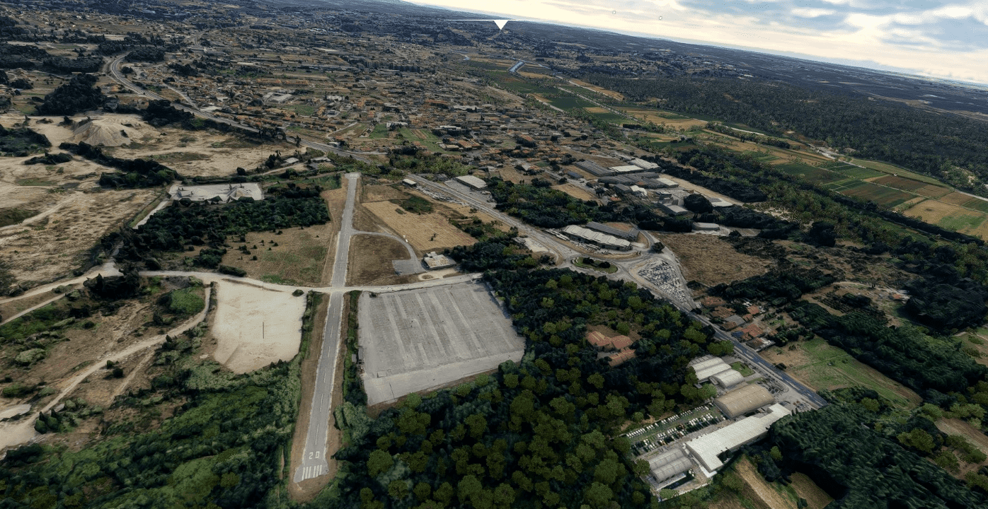
Leiria Portugal v1.0
The first nucleus of the city appears, for defensive reasons, in the century. XII, in full reconquest of the territory from the Moors, with the building of the castle in 1135 by D. Afonso Henriques.
The growth outside the walls took place first to the north, at the foot of the Castelo hill, and then to the south, in the valley next to the river, around the Church of S. Martinho.
On June 13, 1545, Leiria was elevated to a city, being the object of two important events: the demolition of the Church of S. Martinho, which gave rise to the opening of the Praça de S. Martinho, today called Rodrigues Lobo, and the construction of the Cathedral .
In the century. In the 18th century, the works of regularization of the river bed were carried out, which diverted it 100 meters to the south, allowing the Rossio to be created.
In the century. XIX, the following stand out: the destruction caused by the French Invasions; the demolition of the Vila-Real Palace, which allowed the opening, to the south, of Praça Rodrigues Lobo and a more open connection to Rossio, as well as the opening of new streets to facilitate circulation.
The Historic Center that we know today is mainly a legacy of the century. XIX, since most of the building is from that height, although the matrix of the medieval urban fabric persists.
Many thanks to
Jonahex111- Google Earth Decoder
Thalixte – Google Earth Decoder optimization tools
Install
Unrar Part one & Part 2
And you have 6 more rar files. Extract all 6 parts into the community folder
Ready to fly
enjoy
GPS Coordinates: 39°44′37″ N, 8°48′25″ O

