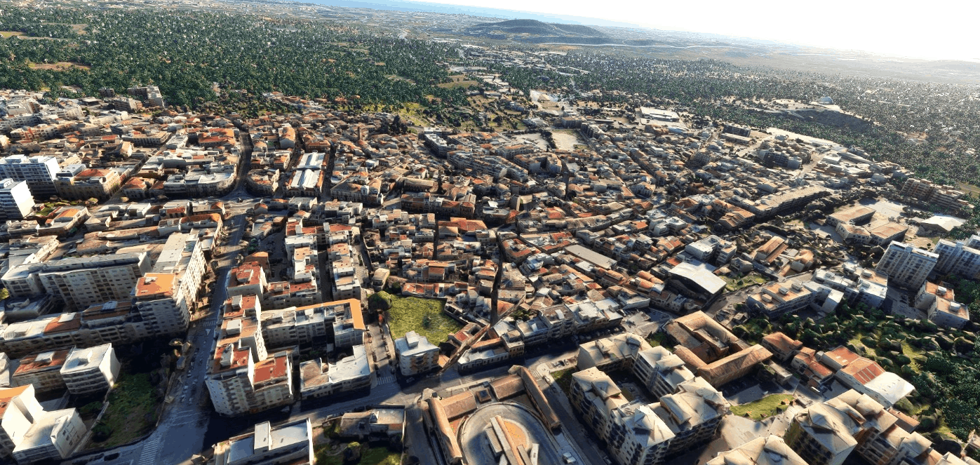
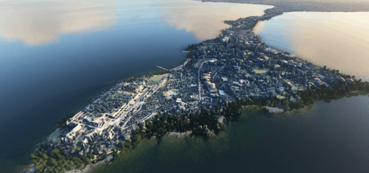
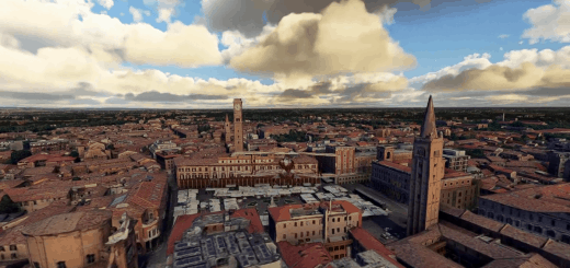
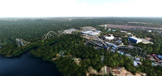
Loulé Algarve Portugal v1.0
Loulé is a Portuguese city in the district of Faro, region and sub-region of the Algarve, with about 20 000 inhabitants, seat of the municipality of Loulé, the largest and most populous in the Algarve with 763.67 km² of area and 70 622 inhabitants ( 2011), subdivided into 9 parishes.
The municipality of Loulé is bordered on the north by the municipality of Almodôvar, on the northeast by Alcoutim and Tavira, on the east by São Brás de Alportel, on the southeast by Faro, on the southwest by Albufeira, on the west by Silves and on the south by the Atlantic Ocean. . The municipality of Loulé includes two cities, Loulé and Quarteira, and the Sanctuary of Nossa Senhora da Piedade (Mother Sovereign) is located there.
In the municipality of Loulé are located the tourist complexes of Vilamoura/Quarteira, Quinta do Lago and Vale do Lobo (the last two in the parish of Almancil).
For best results, I recommend using the MSFS 2020 Google Map replacement, it’s not mandatory, but the colors are more natural and you don’t see the scene division with the rest of the landscape.
Installation: Unzip into community folder
GPS Coordinates: 37° 9′ 0″ N, 8° 0′ 0″ W

