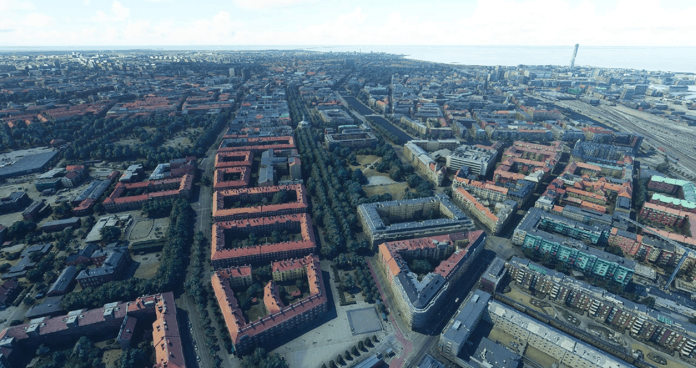
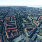
Malmö City v1.1
ecently, @ROANsky released the fantastic Øresund Bridge scenery: Øresund Bridge / Denmark – Sweden. As there is already a photogrammetric city nearby (Copenhagen), i decided to complete the Øresund. So now, with MS/Asobo Copenhagen photogrammetry, ROANsky Oresund bridge scenery, and this one, the area is completed.
IMPORTANT: I strongly recommend that you download and install first the Øresund Bridge / Denmark – Sweden scenery.
Malmö is the largest city in the Swedish county of Scania. It is the third-largest city in Sweden, after Stockholm and Gothenburg, and the sixth-largest city in Scandinavia, with a population of 316,588 (municipal total 338,230 in 2018). The Malmö Metropolitan Region is home to over 700,000 people, and the Öresund region, which includes Malmö as well as Copenhagen, is home to 4 million people.
Malmö was one of the earliest and most industrialised towns in Scandinavia, but it struggled to adapt to post-industrialism. Since the 2000 completion of the Öresund Bridge, Malmö has undergone a major transformation, producing new architectural developments, supporting new biotech and IT companies, and attracting students through Malmö University and other higher education facilities. Over time, Malmö’s demographics have changed and by the turn of the 2020’s almost half the municipal population had a foreign background. The city contains many historic buildings and parks, and is also a commercial center for the western part of Skåne County. It is also home to Malmö FF, the Swedish football club with the most national championships and the only Nordic club to have reached the European Cup final.
Malmö has a very mild climate for the latitude and normally remains above freezing in winter, with prolonged snow cover being rare.
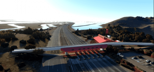
The city is part of the transnational Öresund Region and, since 2000, has been linked by the Öresund Bridge across the Öresund to Copenhagen, Denmark. The bridge opened on 1 July 2000, and measures 8 kilometres (5 miles) (the whole link totalling 16 km), with pylons reaching 204.5 metres (670.9 feet) vertically. Apart from the Helsingborg-Helsingør ferry links further north, most ferry connections have been discontinued.
GPS: 59° 19′ 46″ N, 18° 4′ 7″ E
Credits:
This scenery has been extracted from Google Maps, hence all 3D credits goes to Google.
This scenery has been generated with the Google Earth Decoder tool (credits to /u/Jonahex111)
Addon history:
v1.0: initial release
v1.1: colorimetry update: reduce yellow tint
Installation:
Download thalixte-malmo1.zip, thalixte-malmo2.zip and thalixte-malmo3.zip. Extract both thalixte-malmo1, thalixte-malmo2and thalixte-malmo3 folders into the Community folder.
Notes on the RAM usage:
This scenery uses a lot of RAM. If you have less than 24GB you may need to increase your page file and make sure it is placed on an SSD drive for better performance.

