Monterotondo (RM) – Torre del Comune v1.0
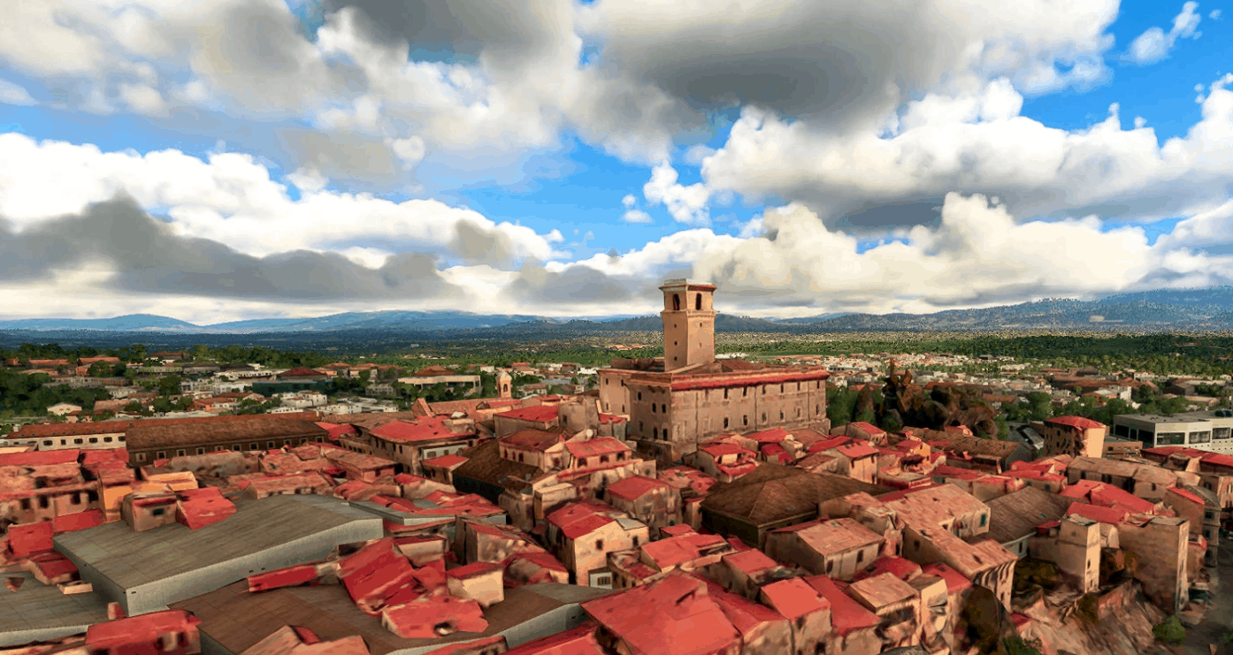
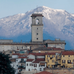
A tiny addition to the default scenery of Roma’s area: the tower of the municipal building of Monterotondo (20Km NE of the Capital, approximately).
About fifty meters high, it represents an important reference point in VFR for flying around Roma Urbe airport.
GPS Coordinates: 42.051699, 12.616811

