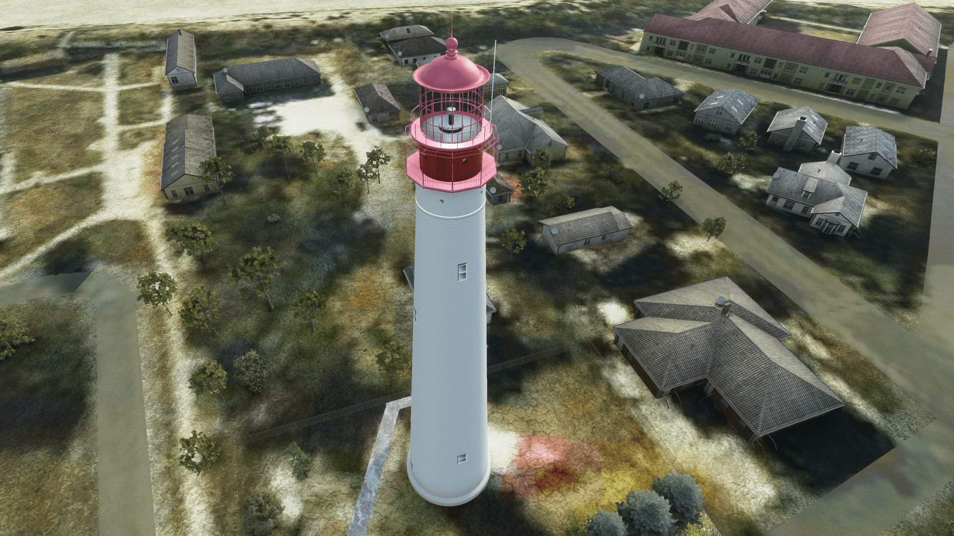
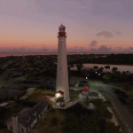
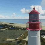
New Jersey’s Cape May Point Lighthouse 2.0
This mod is one in a series of United States Lighthouse created for MSFS 2020 as part of a larger American Lighthouse Project. It features New Jersey’s third tallest, Cape May Lighthouse. This is a highly detailed, accurate model featuring night lighting*. The goal of the American Lighthouse Project is to create most of the major United States’ lighthouses, initially on the Atlantic coast, then later on the Great Lakes and Pacific coast. The initial set focuses on the Mid-Atlantic region, from Virginia north to the tip of Long island. The first set includes this light (Cape May), Absecon Light, and Barnegat Light (all of which are published here and on FlightSim.com). Future lights include Assateague Light, located at the Assateague Island National Seashore just east of Chincoteague, VA, the Twin Lights of Navesink, in the Highlands, NJ, the now decommissioned Cape Charles Light at the southeast end of the Delmarva peninsula in Virginia, Sandy Hook Light in New Jersey south of New York City, and Montauk Light, at the far eastern tip of Long Island. Others will follow.
Since before the creation of the United States, Philadelphia PA, Wilmington DE, and several points on the New Jersey side of the Delaware river were vital seaports. Entrance to the Delaware river is through the wide gap of the Delaware Bay. The bay has been and remains one of the most important navigational channels in the United States being the second busiest waterway after the Mississippi River. The bay presents a number of navigational challenges to mariners: a significant current of up to three knots, with cross-rifting waters when the wind is in opposition; extensive shallow waters, significant traffic, and relatively few places to shelter. The shores are generally low marshy areas with little lighting and exceptionally dark at night.
Entry and exit from the bay to the Atlantic is bordered on the North by Cape May, NJ, and by Cape Henlopen in Delaware to the southwest. Both points became early lighthouse locations. Earlier lights had been established at Cape May in 1823 and 1847 but were found to be inadequate. The present Cape May was built at Cape May Point in Lower Township, NJ, in 1859 under the supervision of U.S. Army engineer Captain William F. Raynolds (and contributing engineers, Captain W. B. Franklin and Major Hartman Bache). Cape May was automated in 1946 and continues to operate today as an active navigational aide with a white beacon flashing every 15 sec. Cape Henlopen was destroyed in 1926 by shore erosion and was not replaced.
The tower is 157.5 feet tall. As with most masonry lighthouses, the tower has two separate walls. The outside wall is cone-shaped, and is 3 feet 10 inches (1.17 m) thick at the bottom, and 1 foot 6 inches (0.46 m) thick at the top. The inside wall is a cylinder with 8.5-inch-thick (220 mm) walls which support the spiral staircase. The walls were designed to withstand winds several times above hurricane force.
The view from the top extends to Cape May City and Wildwood to the north, Cape May Point to the south, and, on a clear day, to Cape Henlopen.
Cape May Lighthouse is listed on the National Register of Historic Places and the New Jersey Register of Historic Places.
The model was built in Cinema 4D R21 and prepared for MSFS 2020 in blender using the MSFS 2020 plugin.
*Note: at night there is some bleed through from the beacon light. This is a current limitation in the SDK. The initial release revision is 2.0

