Niigata prefecture, Japan v0.2
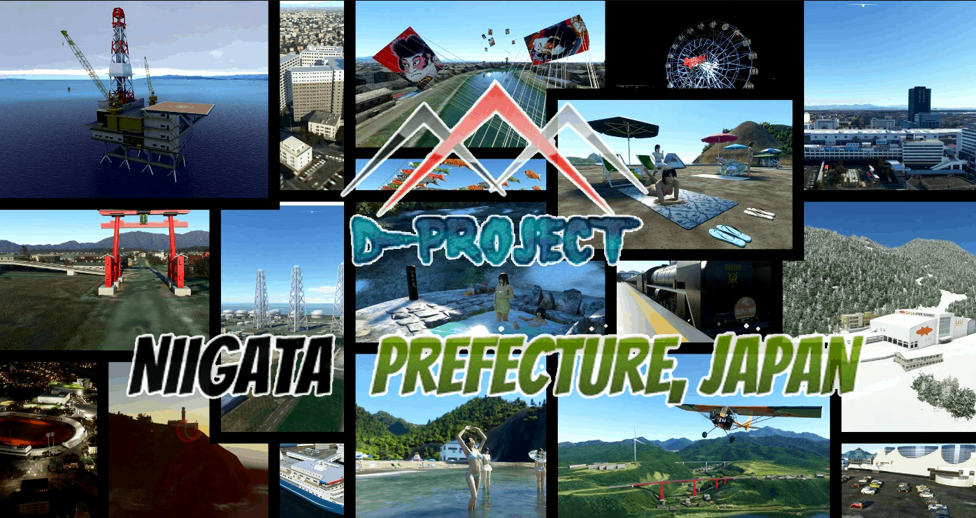
It is a scenery in Niigata prefecture, No-Google Earth model.
Niigata Prefecture is a prefecture located on the coast of the Sea of Japan in Honshu. Known for its ski resorts, national parks and many hot springs
Sado Island is a remote island offshore.
The area of Niigata prefecture is 12,580 km²
High speed rail ”Joetsu Shinkansen”
Niigata, Tsubame Sanjo, Nagaoka, Urasa, GALA Yuzawa Resort, Echigo Yuzawa Station
Yahiko Panorama Tower, Antenna group and Otorii
SL “Banetsu Monogatari” and Tsugawa Station
Truss bridge, Chosei Bridge,Kirin Bridge,Yoneyama Bridge, Tokimeki Bridge , From Matsuhama Bridge to Agaura Bridge, and more
Beach Kakuda, Sado Futatsugame
Shirone Giant Kite and Kamo River carp streamer
Niigata Station and surrounding commercial facilities
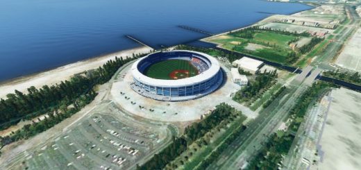
Ryutopia-Prefectural Hall, Athletics Stadium
ANA hotels and surrounding condominiums
Some ships and Sado Kisen Niigata Terminal,Minato Tower
Niigata Furusato Village and Niigata Nippo Printing Factory
Niigata West Port, Niigata East Port, Naoetsu Port, Teramari Port and more
EAST-NIIGATA Industrial Zone and more
Gas holder near Niigata City and Shibata Gas “Nikotan & Mokotan”
Iwafune offshore oil and gas field
Kashiwazaki-Kariwa Nuclear Power Station
EAST-Niigata Thermal Power Station , Joetsu Power Station,Sado Power Station
Hot spring in Niigata Prefecture “Renge Onsen”
All wind power generation in Niigata Prefecture
Campsite in the prefecture “Sitada” CAPTAINSTAG and SNOWPEAK, and more
Kakuda Lighthouse, Himezaki Lighthouse, Niigata Port Wharf Lighthouse, and more
Suntopia World Ferris wheel
More screenshots can be found here
Can be used with Berry’s Niigata landmark. Please use V2.1b because some building overlaps with the latest version of Mr. Berry’s Niigata landmark.
Thx for Berry’s kindness.
GPS Coordinates: 37.911956, 139.061884

