Oberhoeri v0.5.2
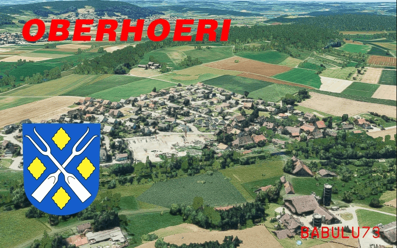
This is Oberhöri. The part of the town located between Neerach and Höri (both uploaded here already). The scenery is part of the photogammetry enhancing of the arrival at Zurich airport on Rwy 14 / 16.
Scenery was created using GoogleEarthDecoder by Jonahex111 (available on reddit). Thank you for developping such a great tool! I also used the optimising tools by thalixte (available on reddit as well) on that scenery. Another amazing piece of Software!The models are out of google Earth, so (C) for 3d models lies by google.I enhanced the sceney with some lights. They where created by miguel88 (search for 11-colors-lights-pack-from-blender-1-0).
Have fun flying!Beat LSZH
GPS Coordinates: 47.50409, 8.49677


